Today the weather better suits my cycling style :-) I continue my tour around the Gisborne district (Wiki). There is no mobile coverage here and that’s a good thing. This time I might succeed at disconnecting myself :-)
Ready to go, ready to ride! The last thing I need is to open my eyes haha! I still feel tired. I woke up at 7:10 am to be sure I will avoid the rain. Let’s see how it will turn out.

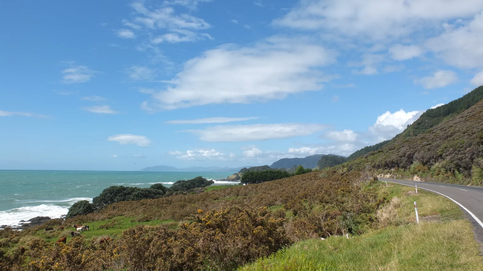
Nobody here, sometimes a car or two. The only overwhelming noise comes from the powerful ocean.
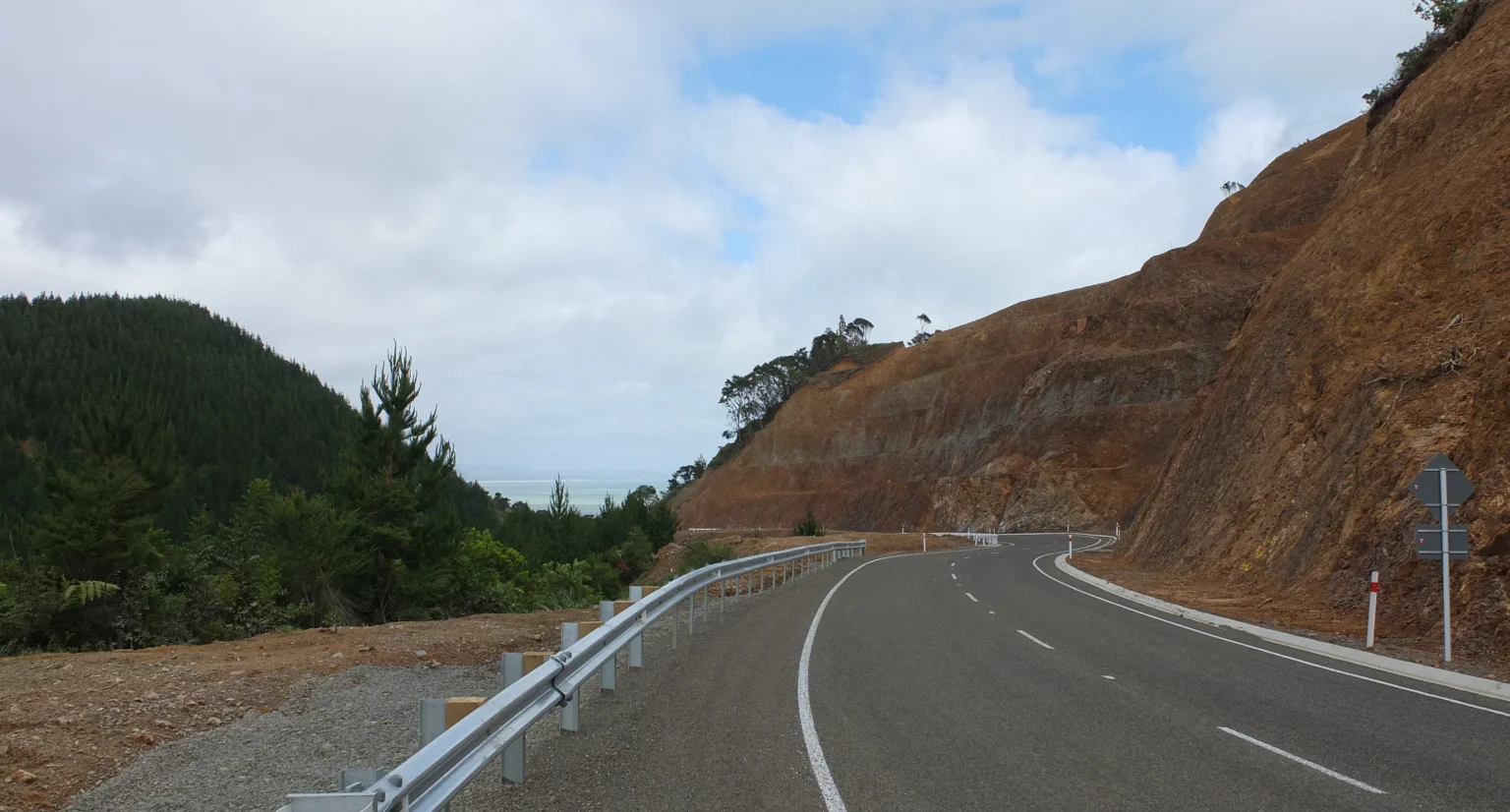
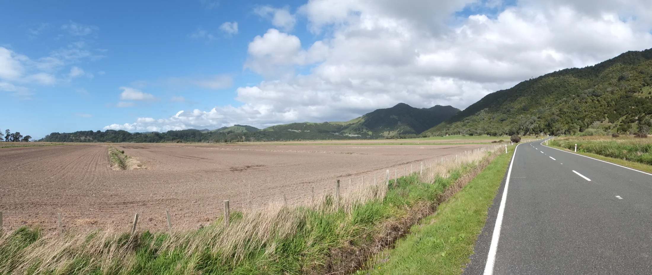
The road has been renovated recently. The old one passes on the other side of the this rocky mountain on the right hand side. It’s an impressive job to think about how engineers cut or slice the nature like this.
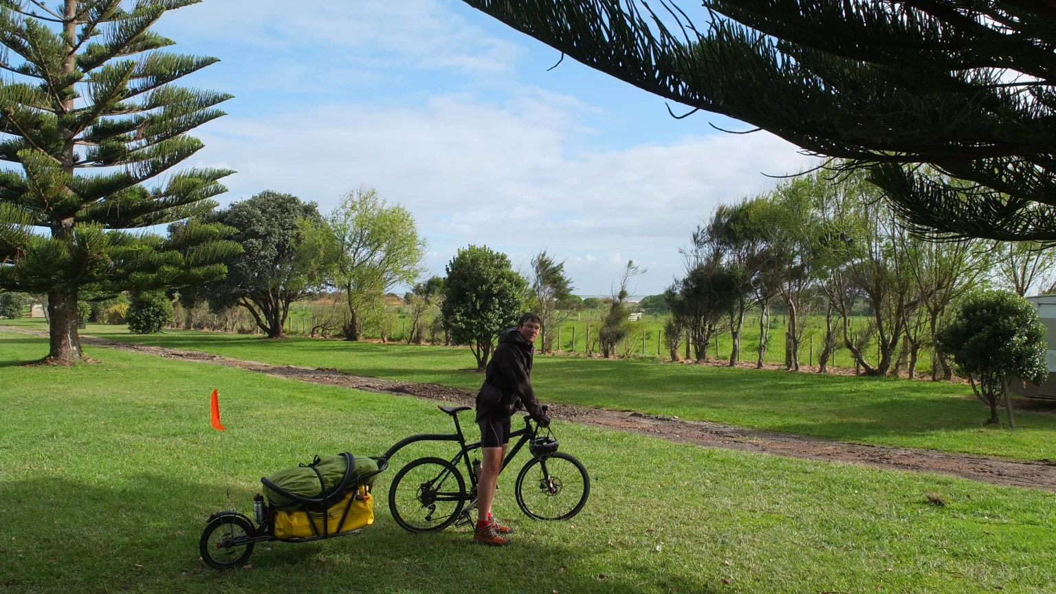
I’m going down through the biggest hill I’ve done so far. On the top, I had a break and met another traveller like me :-). He is going on the opposite direction. Poor him because he rides against the wind! This guy travels so lightly! I cannot figure out how that’s possible. Or maybe I’m the one carrying my apartment… He has four little bags of 10 liters each maybe and one mattress on top of his backpack. My 80l yellow bag could contain all his stuff. How does he manage to be so compact? I need to improve this part because I feel certainly too heavy. I could let go my pair of jeans, the new pullover I bought in Kerikeri, my swim suit and hat because I’ve never used them. That’s a total of 2,5 kilos roughly. Ah, and my heavy gum boots as well but I’m sure if I leave them now, in one week I will need them! So, that’s 4 kilos with the gumboots and… I still have many things to carry.
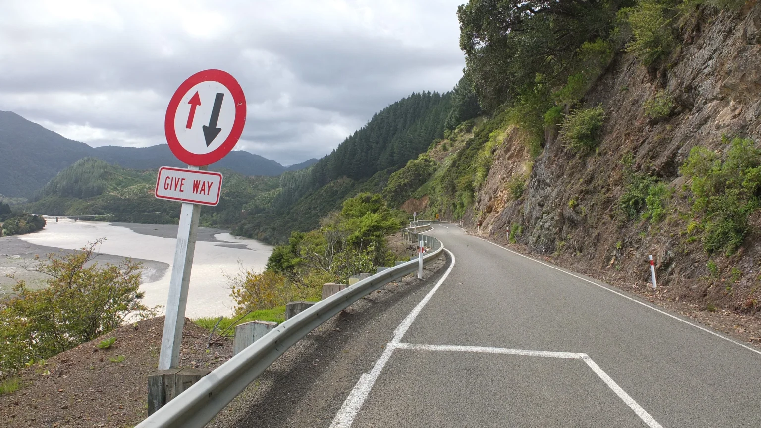
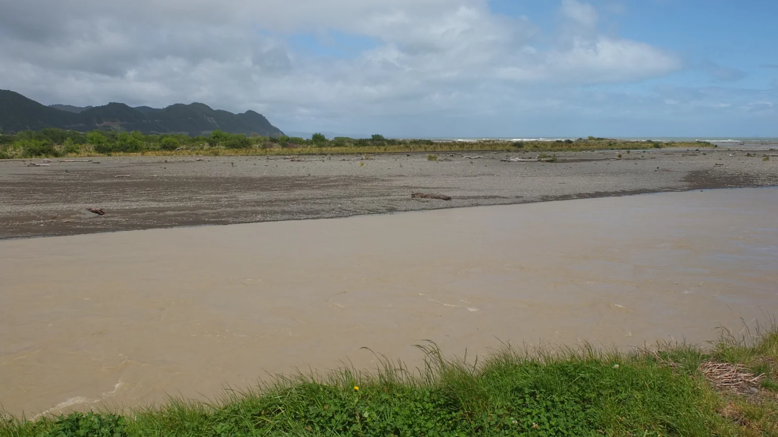
Another solution would be that I buy along the way. It could be a solution to reach the same packing size as this man but it is gonna cost more. Rah! I do not know… I have completely forgot the picture :-). Heuuu… the view! (not enough). The view on the river!… with a bridge… and trees around. Phew! So interesting :-)
On the left hand side, the river flows into the Pacific ocean.
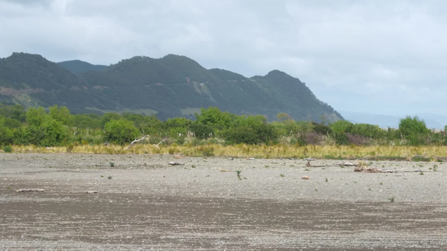
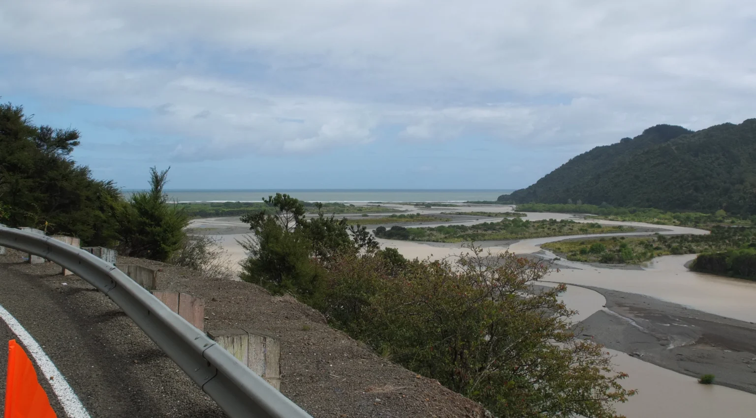
This picture shows all the way down I’ve done without any effort, a long diagonal through the hill :-)
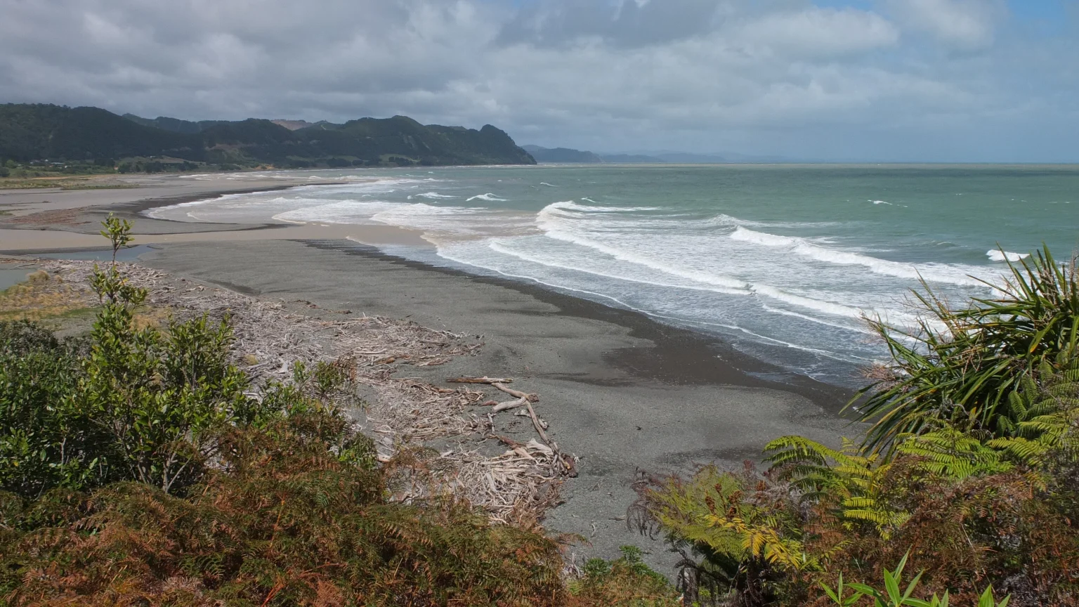
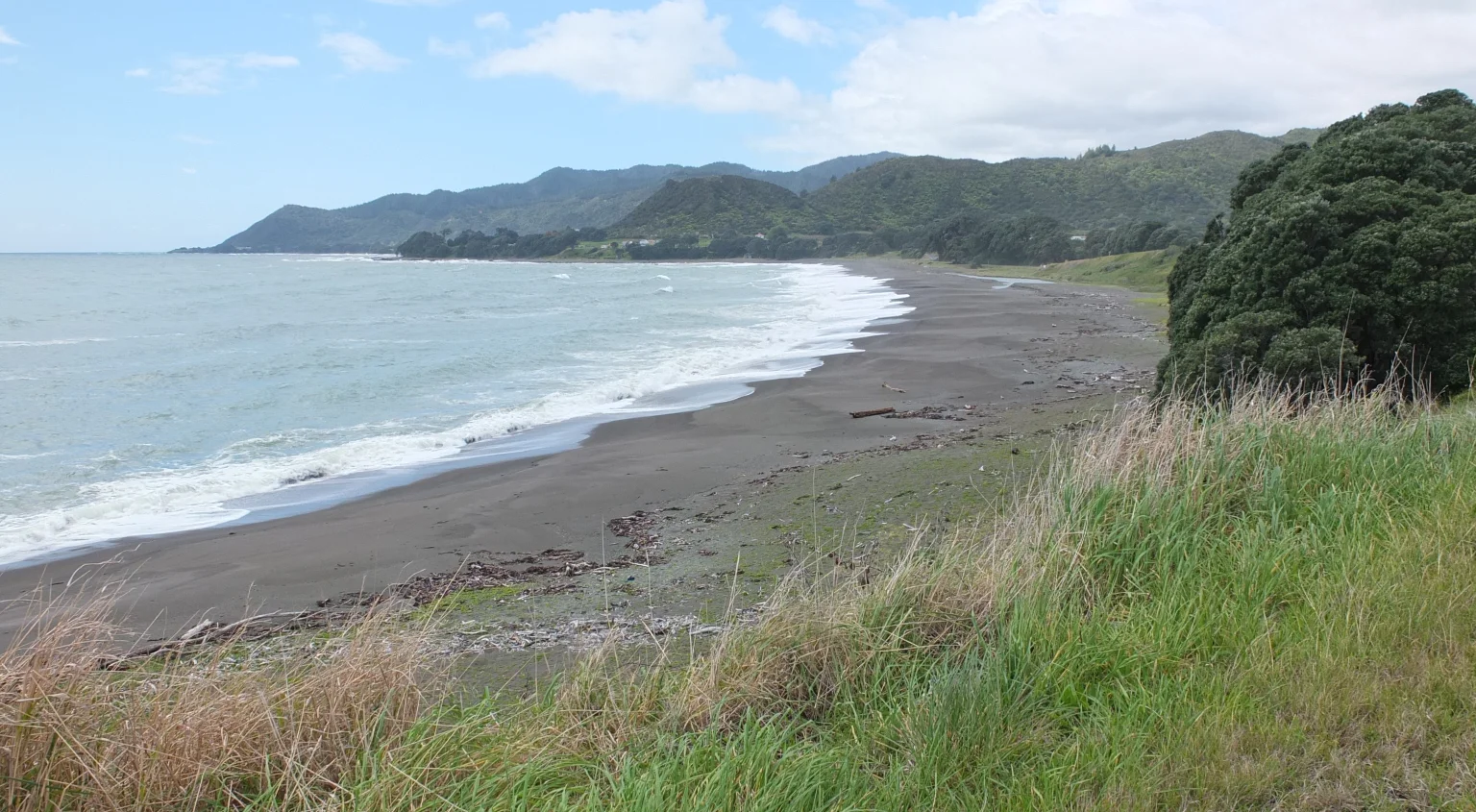
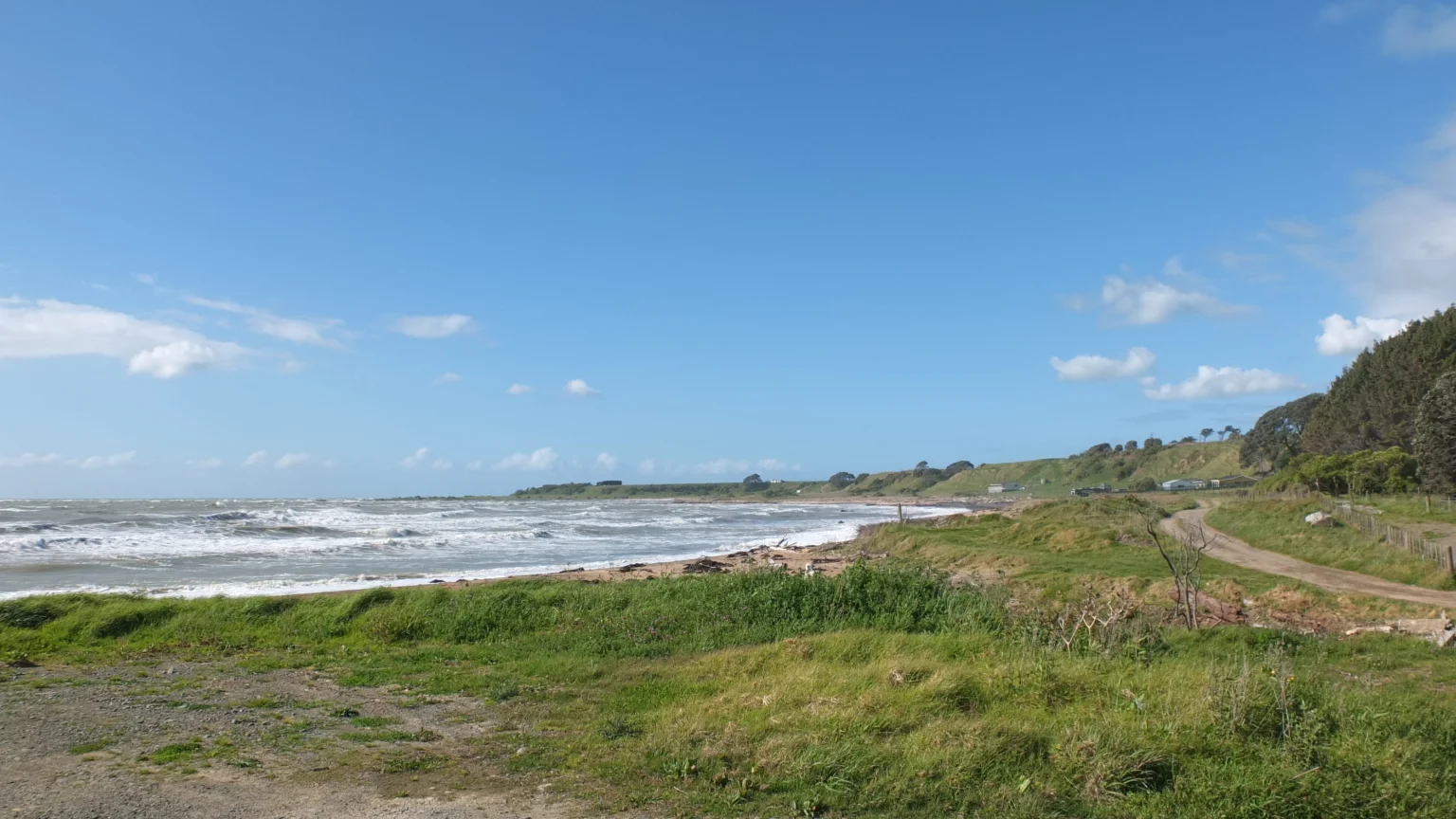
Almost from the same spot. This time: the wild beach.
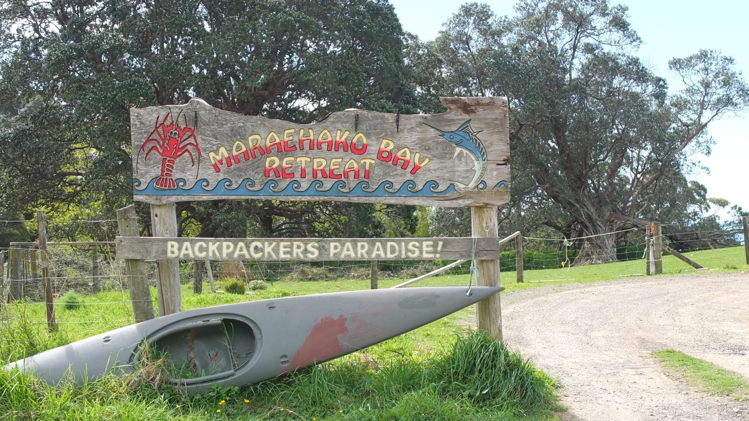
I think I see a camp site down there. Some people are playing table tennis. I should go there and bet a winning game against a free night :-)
A little while later
My “Guide des frogs” book says it’s the last shop until Gisborne. I better make sure I will have enough food for the next three days.
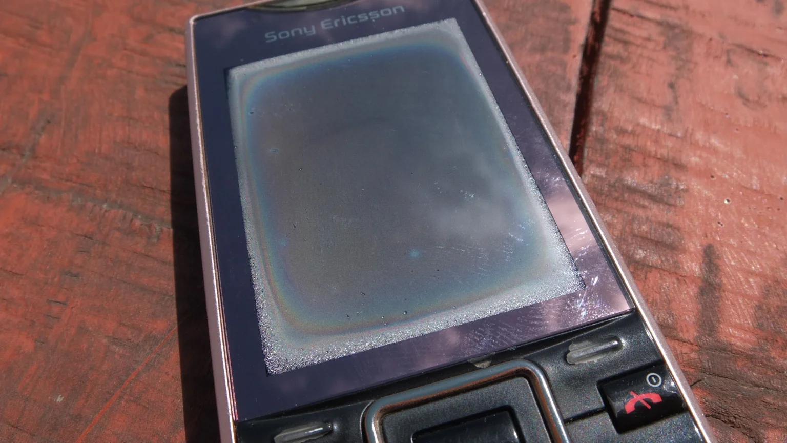
I might have a little issue with my phone… Yesterday, I left it in my tent during the storm and now it’s full of moisture. I’m trying to dry it under the sun but it’s not done yet. I don’t want to buy another one… I planned to keep it 8 more years!

Everyday has been sandwiches. It’s good to change sometimes :-)
After a fatty break, let’s continue!
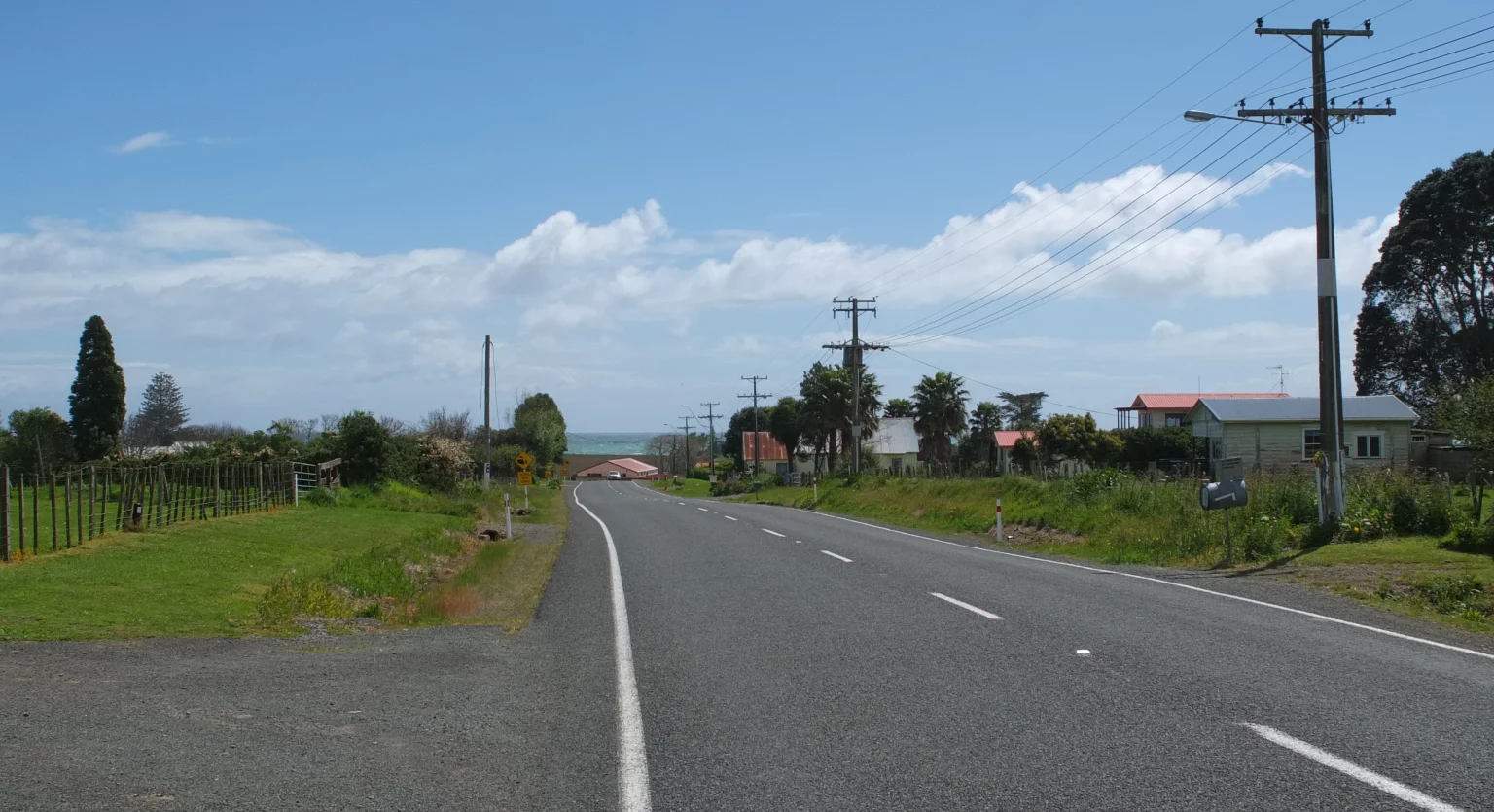
I’m in Te Haka (Wiki) now. Wikipedia says: The New Zealand Ministry for Culture and Heritage gives a translation of “the rope” for Te Kaha. The full name of Te Kaha is Te-Kahanui-A-Tikirākau.
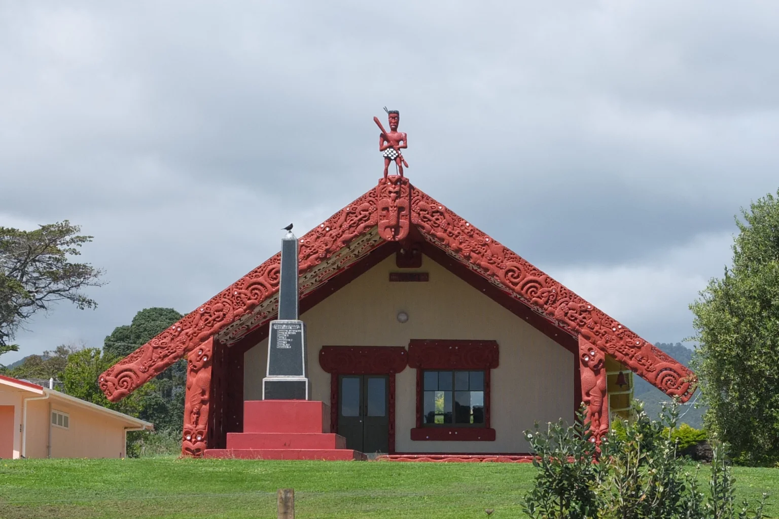
This place is called a Marae (Wiki). There is one in every village or town here. It is consider as a traditional church for Māori.
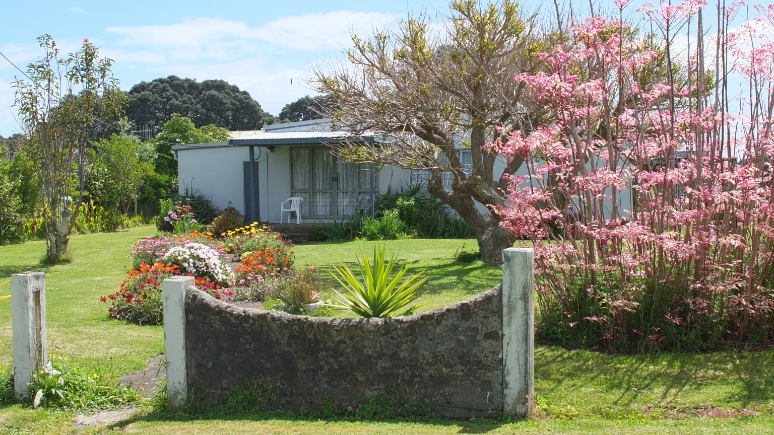
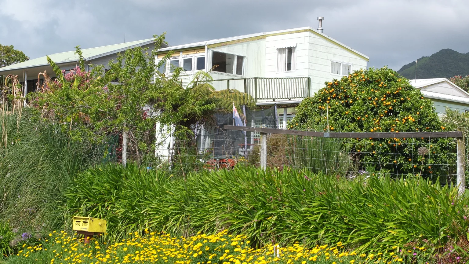
This garden is cute, the wall is just there for decoration :-) Very peaceful and relaxed.
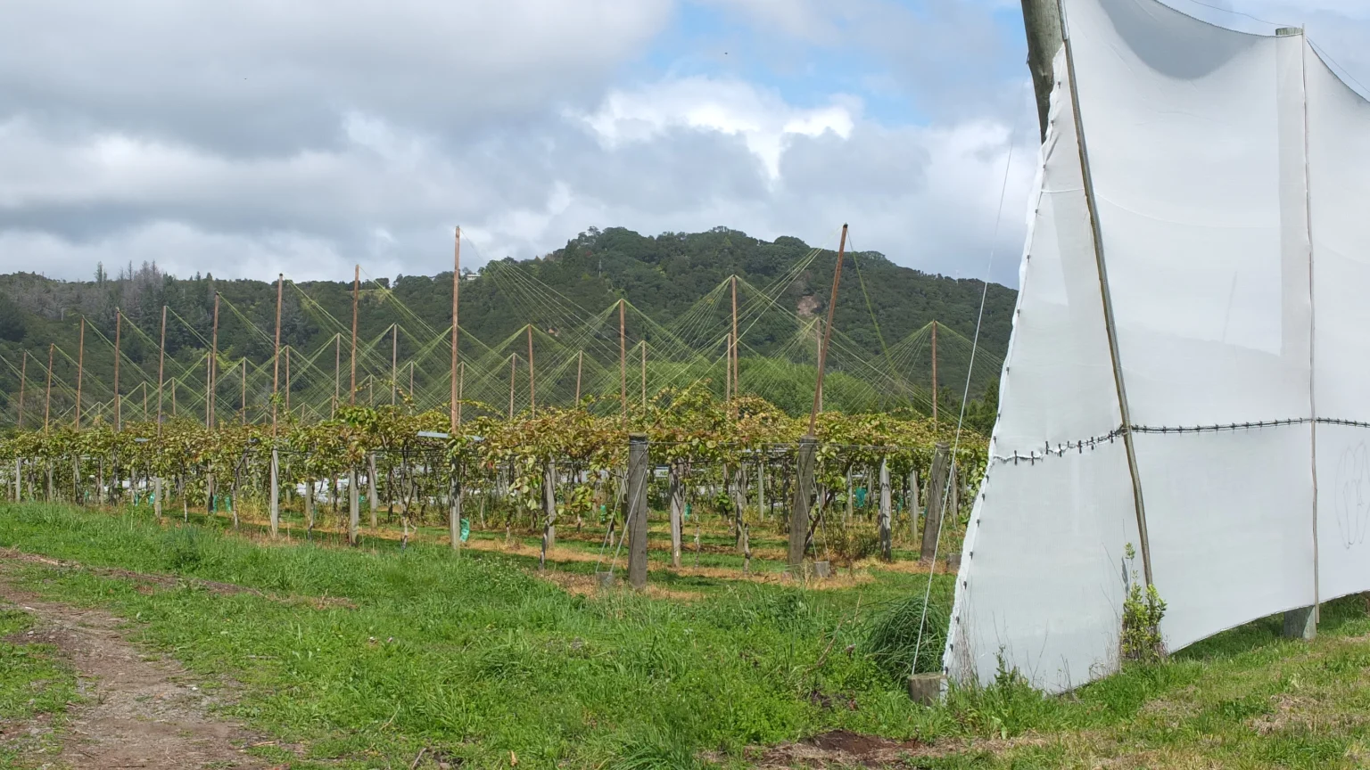
Kiwi fruits! The leaves are growing and March will be the picking season!
I was wondering Why are my pictures so dark?
I realized later on that the sand is actually black around here. That’s part of the answer :-)
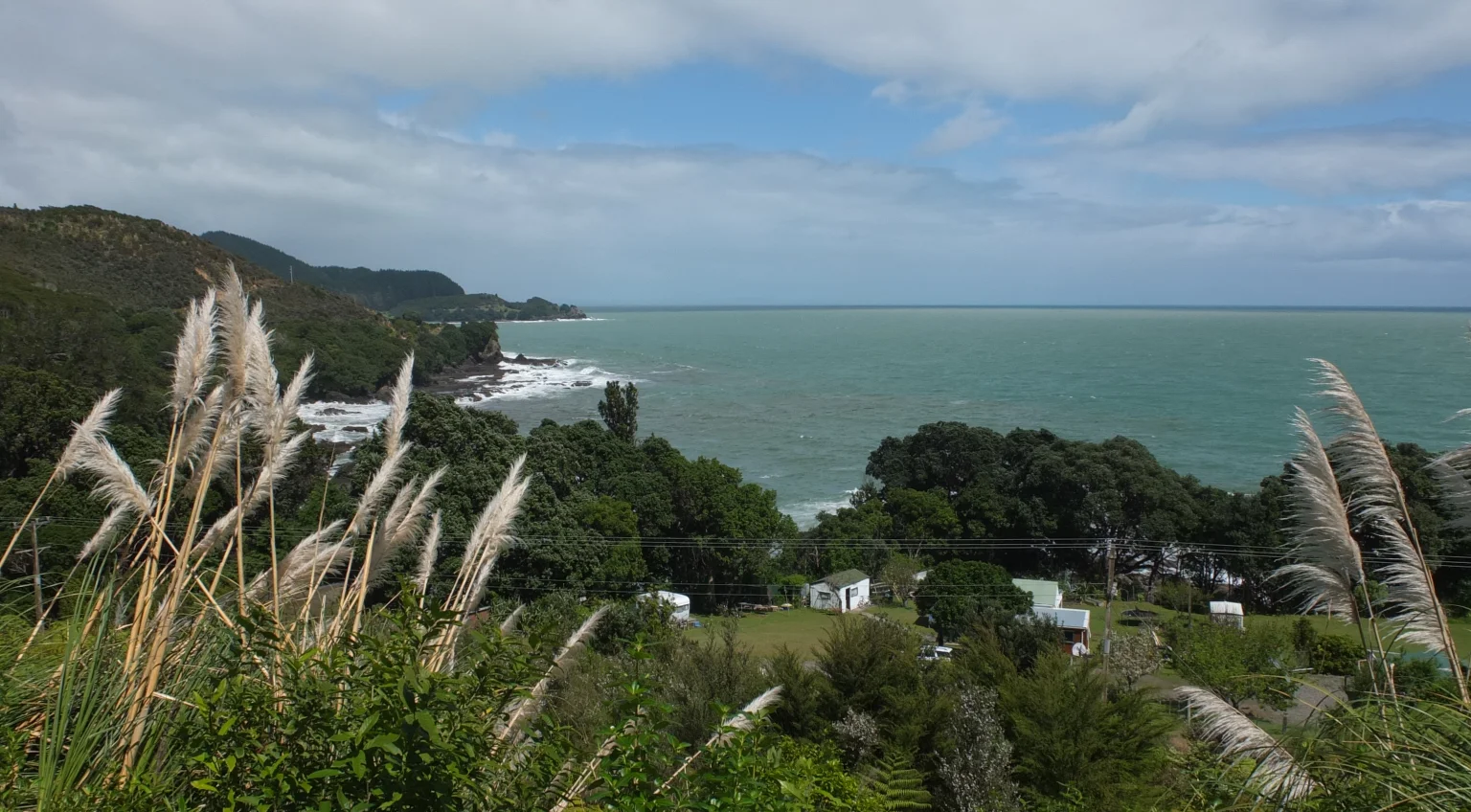
I’m actually going up hill. The landscape is getting more and more beautiful!

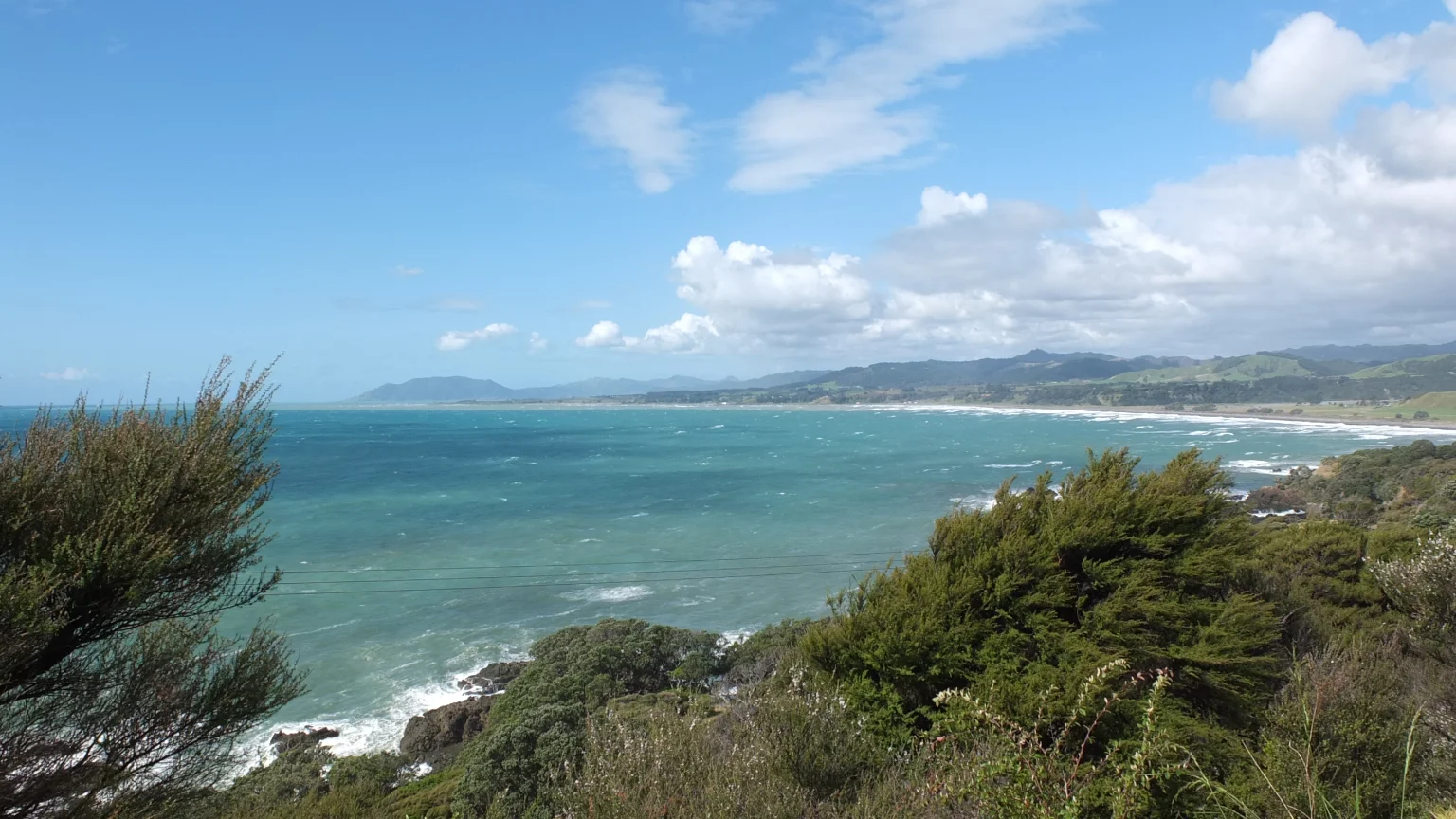
Welcome Pacific ocean :-)

Blue on top of blue!
When it is not blue it is so green!
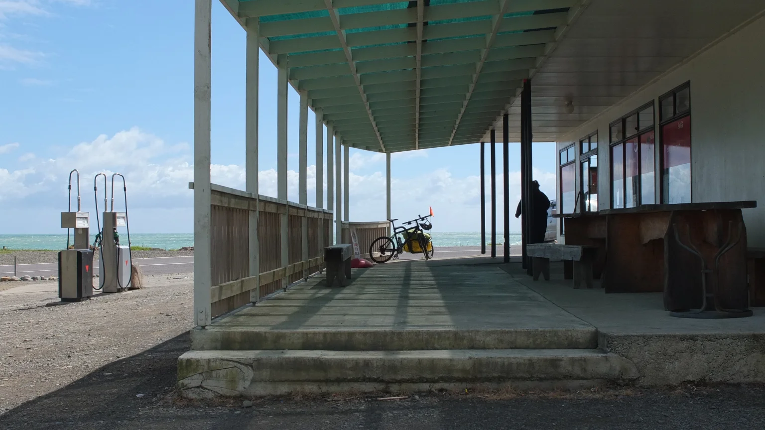
I’ve just reached the goal I set for today but I think I will continue a bit more. I still have some energy left after 70km. I ate so well this morning :-) Before continuing, I will verify the price; If that’s under $8NZD, I will stay here.

$12NZD. Bye bye then :-)
Wouhaou :-)
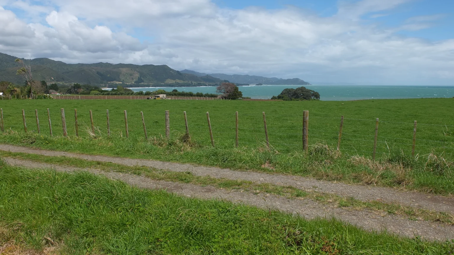
I left the sea shore for the countryside. It’s so quiet here. The wind is pushing me so that’s cool.
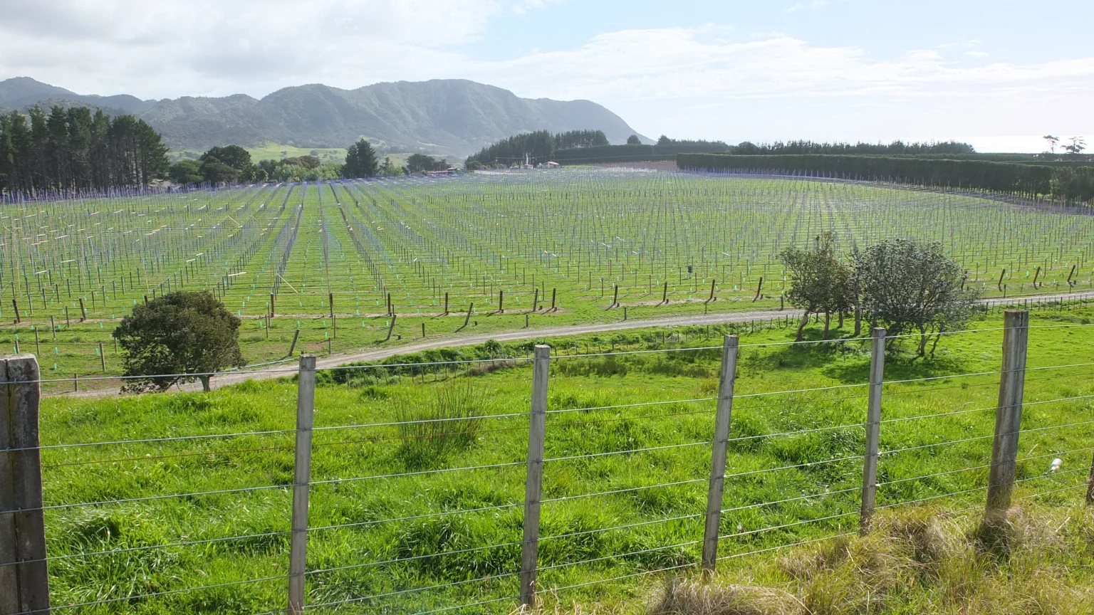
More kiwi fields I guess.
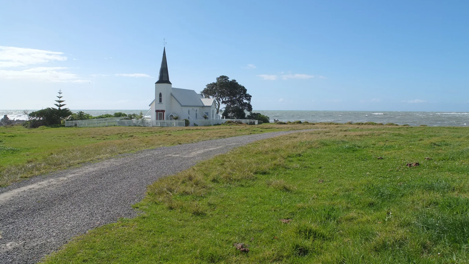
Usually I don’t take pictures of churches but this one looks great, and it is right on the beach!
Searching for a potential spot
For few minutes, I’m wandering around this area searching for an eventual place where I could set up my tent for free. The map indicates Cape Runaway (Wiki) straight ahead. It could be a good place to stay tonight. A track is leading to what might be a dead end. I will have a look…

Unfortunately, I cannot go any further because a stream is cutting my way. I will ask permission to stay here. This time, I’m tired.
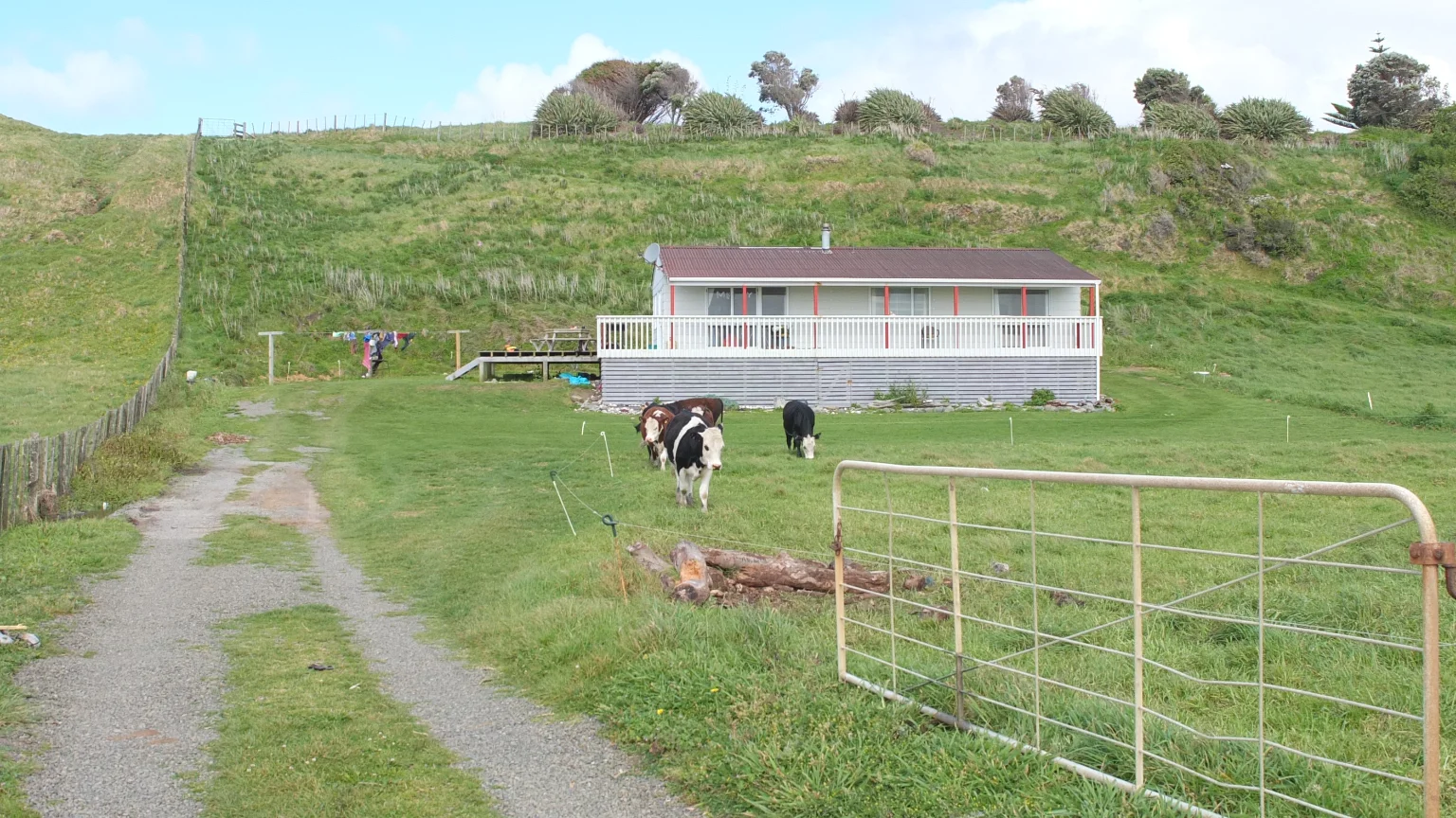
This house looks nice and quiet, let see if I can ask anyone.
The unexpected happened!
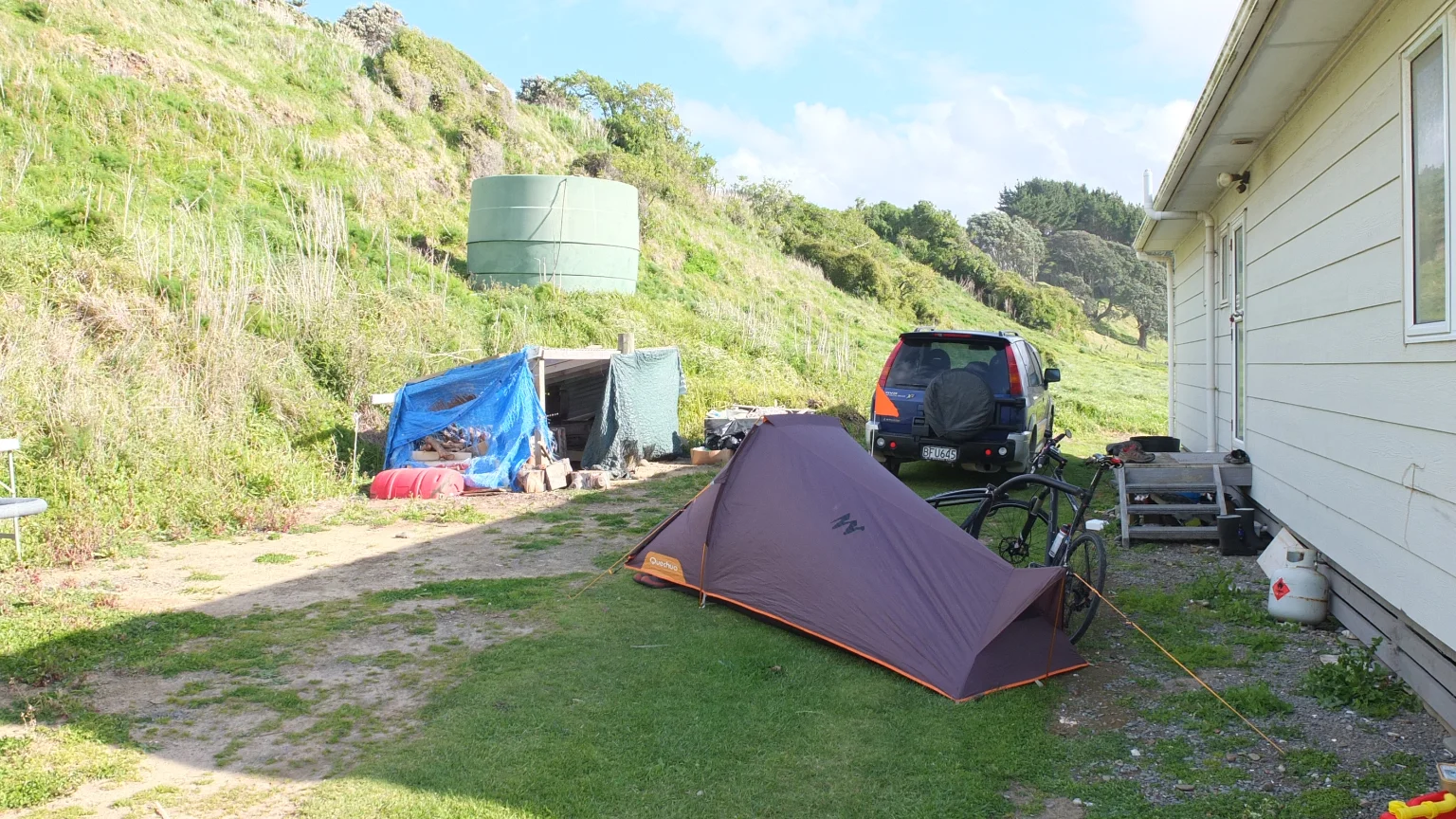
The plan as changed. I asked the owner of this house if I could set up my tent next to the ocean and without answering me she started to look for a place in her garden :-) Here I will be well protected from the wind. Cool!
A little while later
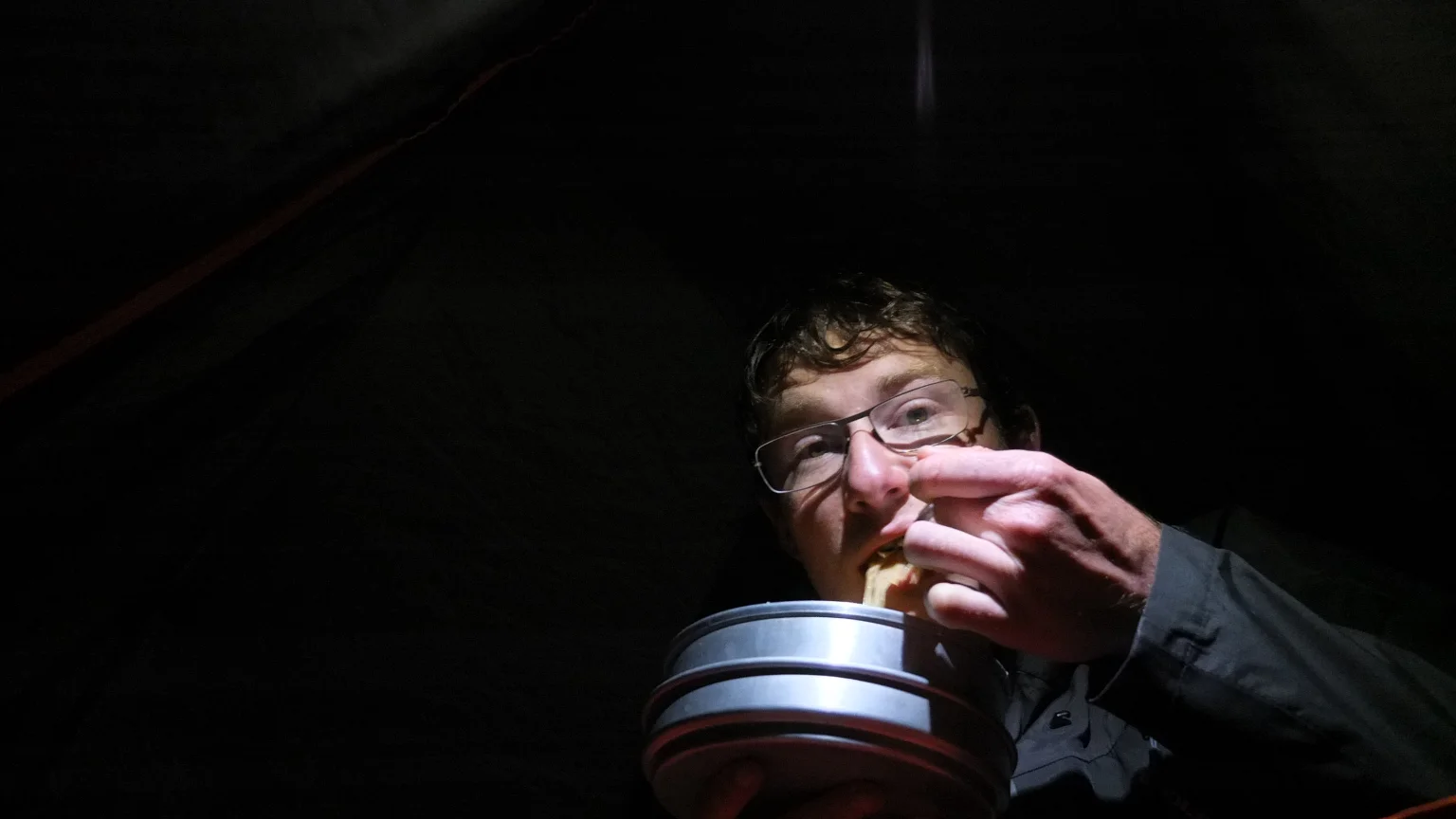
After I set up my tent, she offered me a cup of tea. Thank you Madam :-) She lives with her son, in his house. She used to be a nurse in Auckland and she moved here 8 years ago. Her son has a kiwi exploitation. They are both really nice :-) Now I came back in my tent to write my diary and eat my cold pasta I cooked yesterday. I’m going to have a good sleep :-) See ya!
2 responses to “Tirohanga > Papatea Bay”
If I must choose one picture between all these, that will be the river and the ocean !
You will make a reserve of vitamin C with all those kiwis soon!
It is so beautiful around here. Hard to choose just one photo. Yes, vitamin C is good!