Today is the day! I’m going to reach the highest non volcanic mountain of North island. Finally I decided to go by bike because John, Maila ‘s friend, told me that it was possible to ride up to a certain point. It’s a long trip to arrive up there but it will be worth it.
First there is 25km to arrive to the bottom of the mountain. Then 10 km more the reach the wooden statues forming a big circle situated at 1000m height. The last 785m towards the top are by foot.
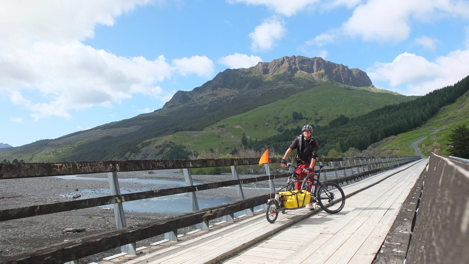
That looks like the mountain I will be climbing this afternoon.
Or that one? They are everywhere!
Or that one?

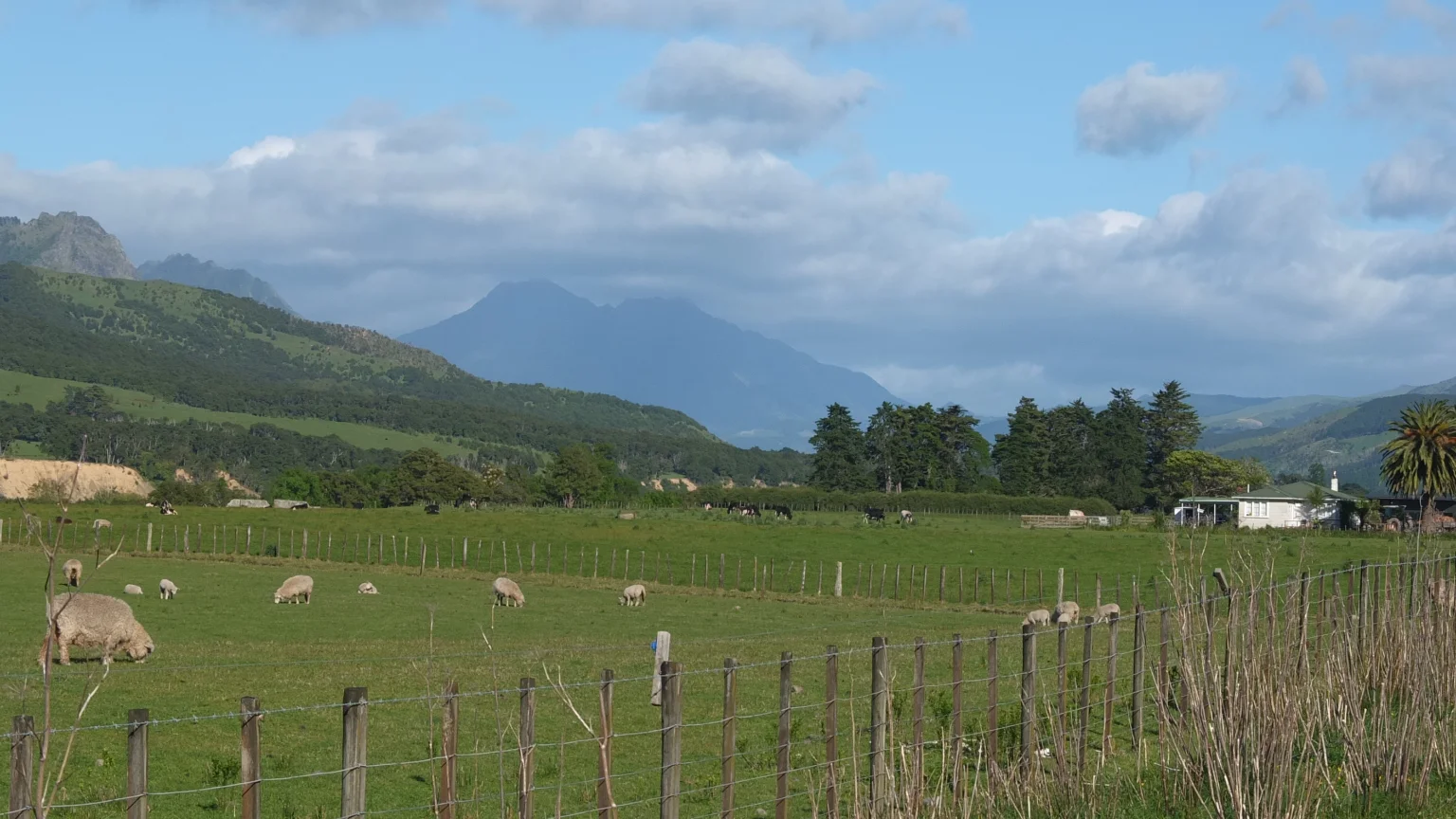
Ah, “wild” cows again. I’m going to get into the same “issue” as East Cape where cows were scared of me and run all around to the point they would hurt themselves.

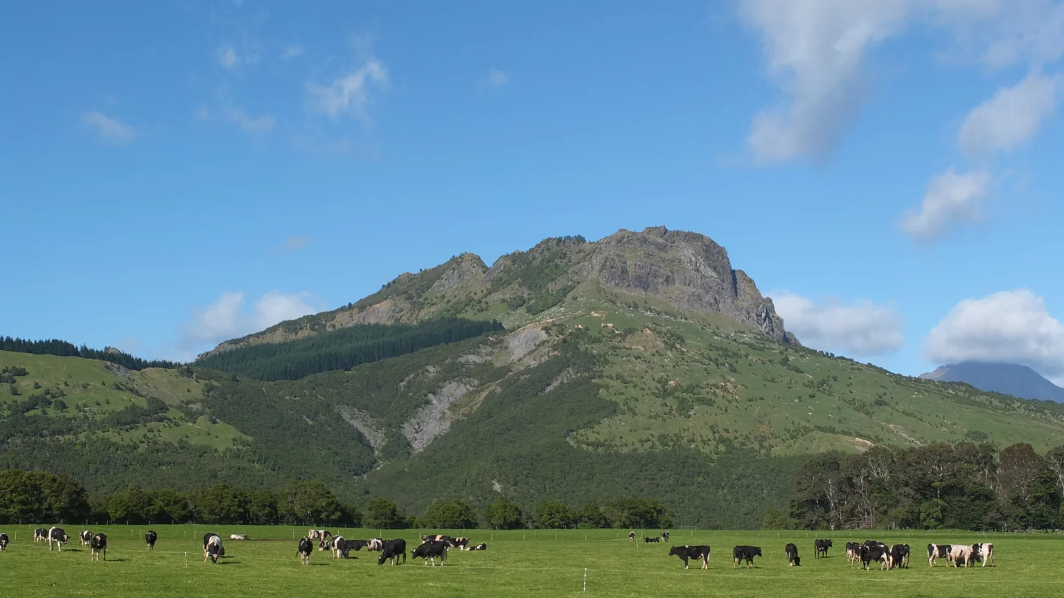
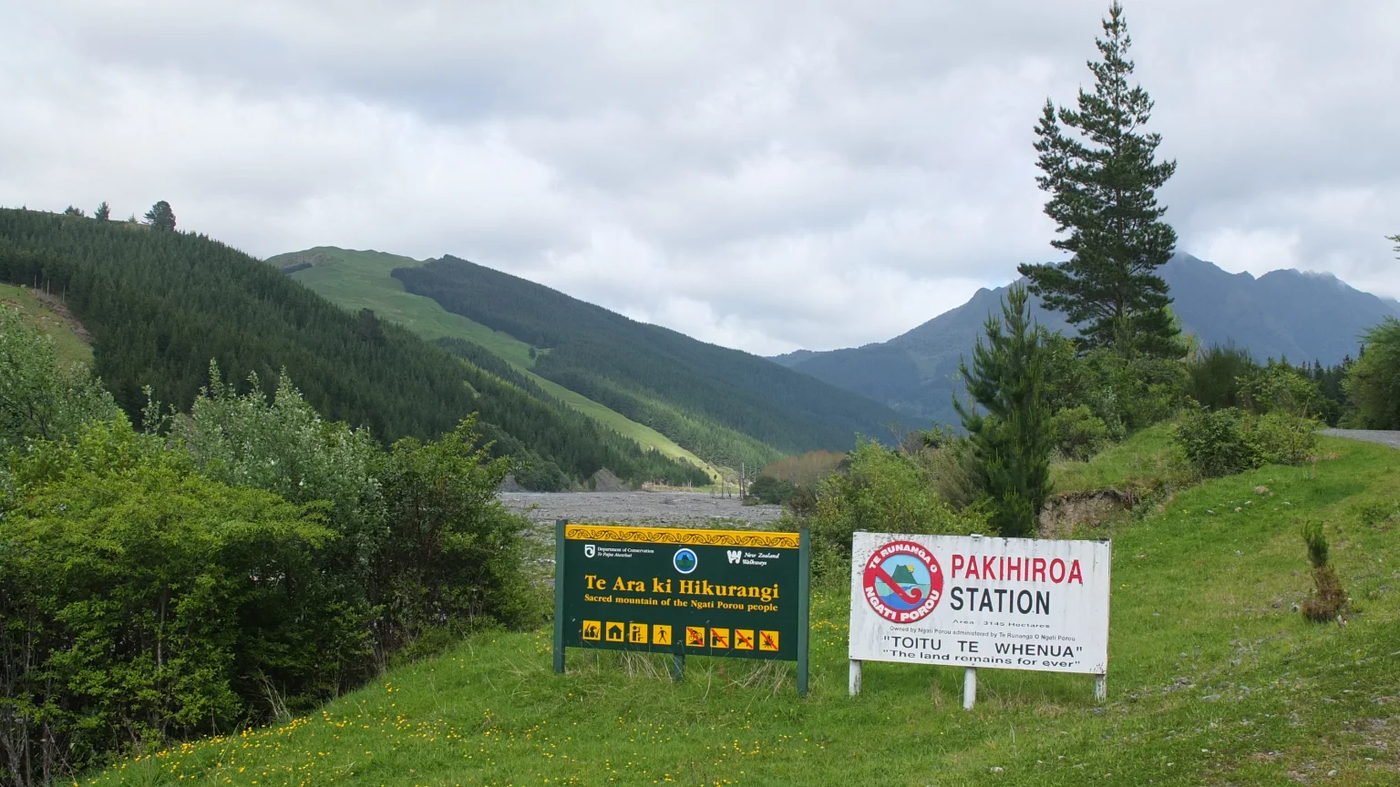
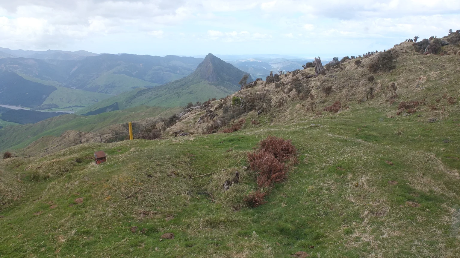
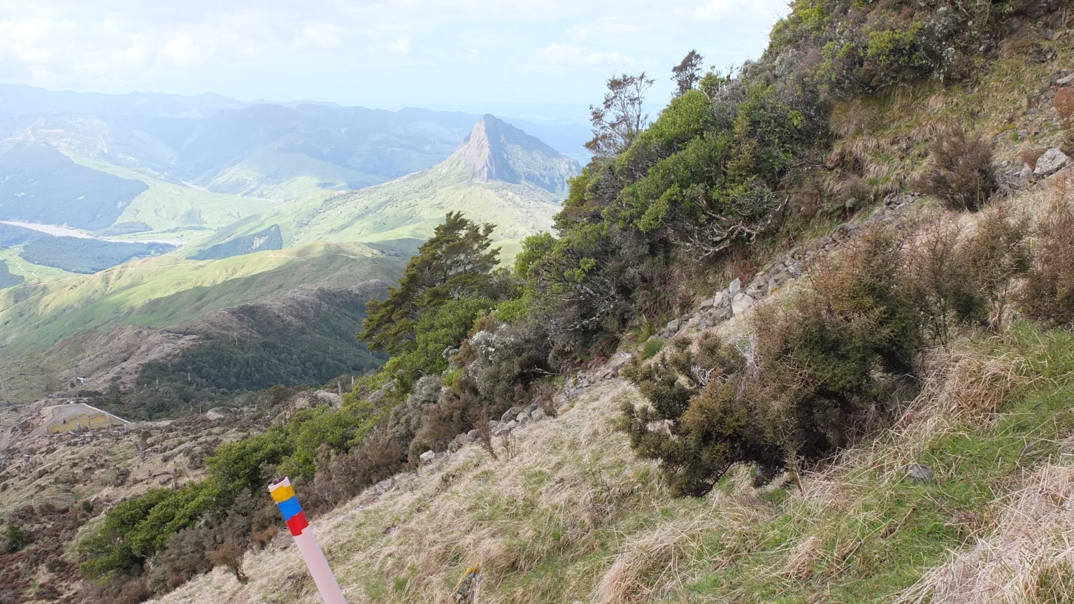
A farmer I met along the way told me that I will see the Hikurangi mountain once I reach this point. In fact, I’m going to ride on the furthers one, straight up from the yellow sign front of me.

I am approaching.

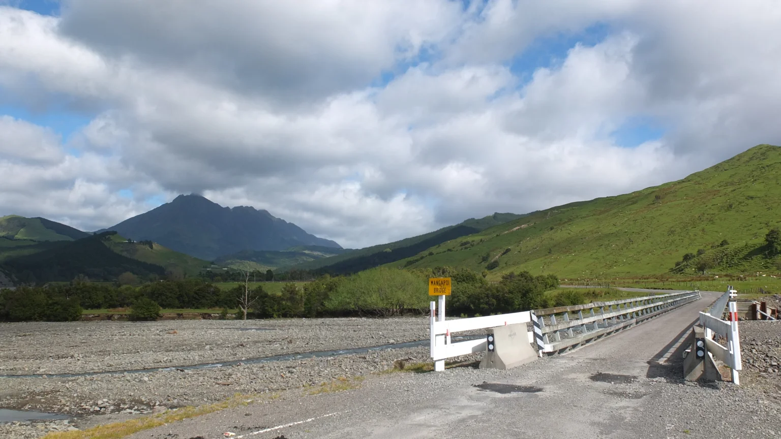
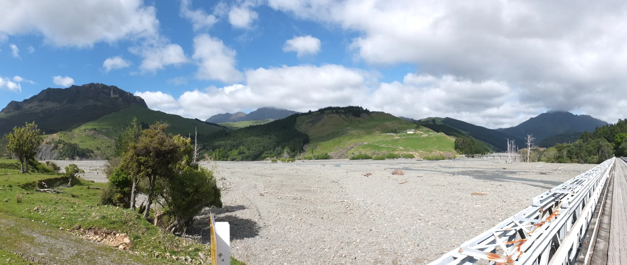
Finally, after the first 25km I’m on the last bridge which separates myself from the start of the track.
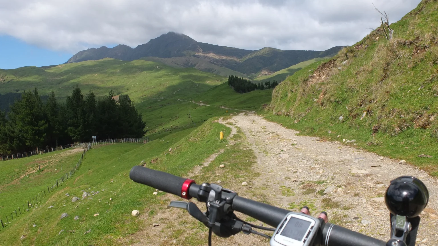
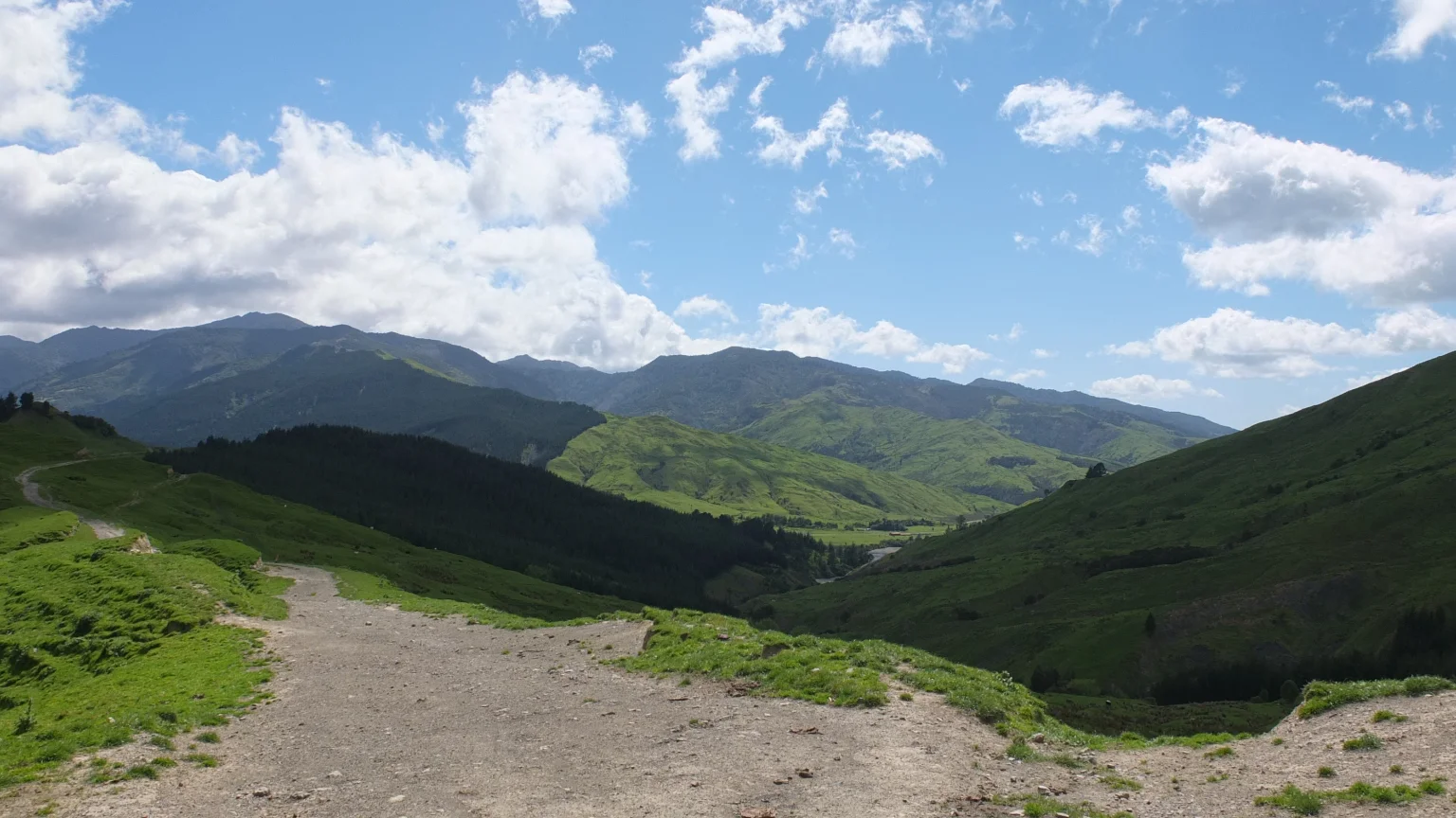
Going up hill
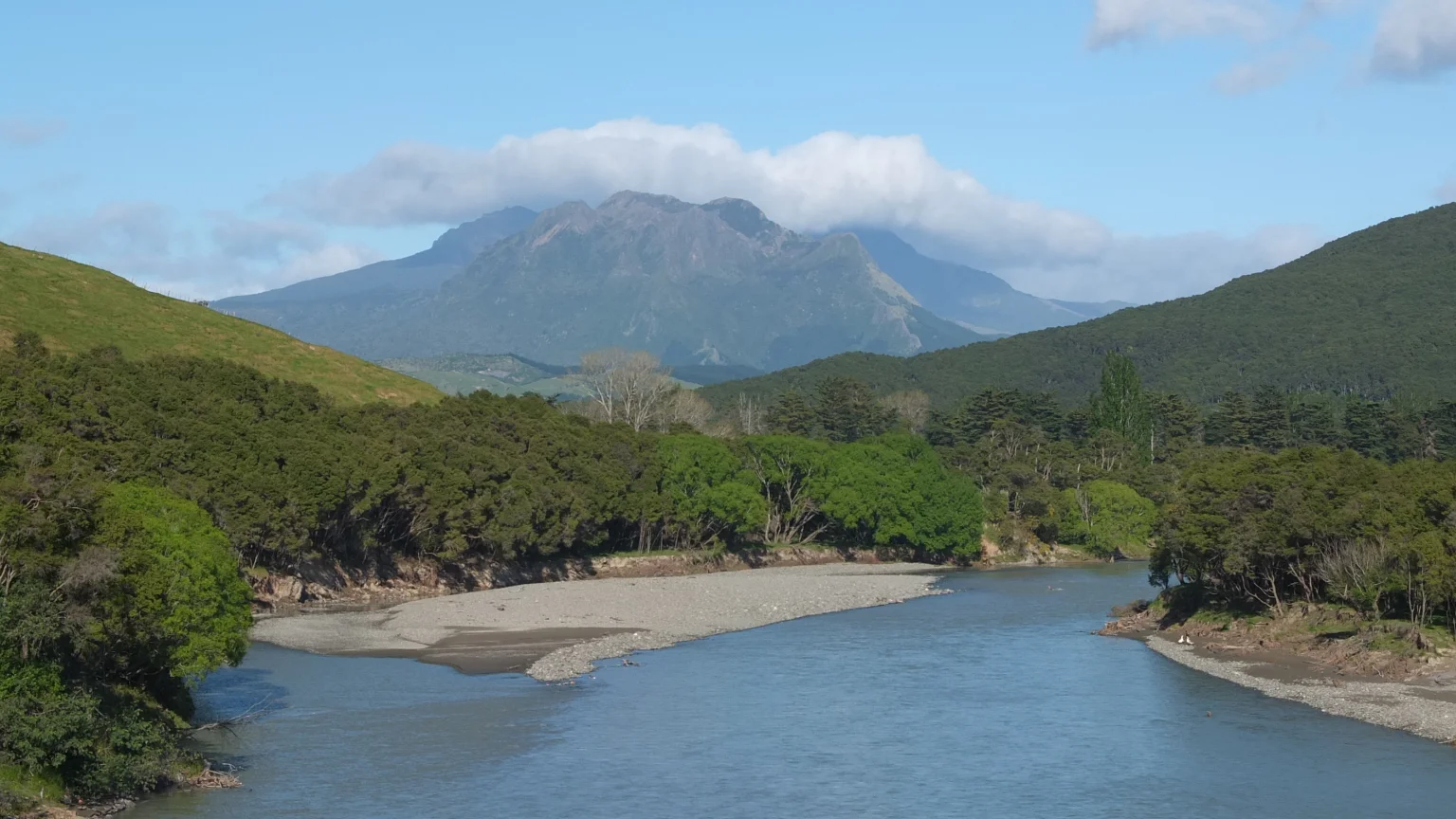
Aaaah, I think that’s THE mountain where I’m heading.

If I move, they will do too.

Phew! I’ve done a lot already.
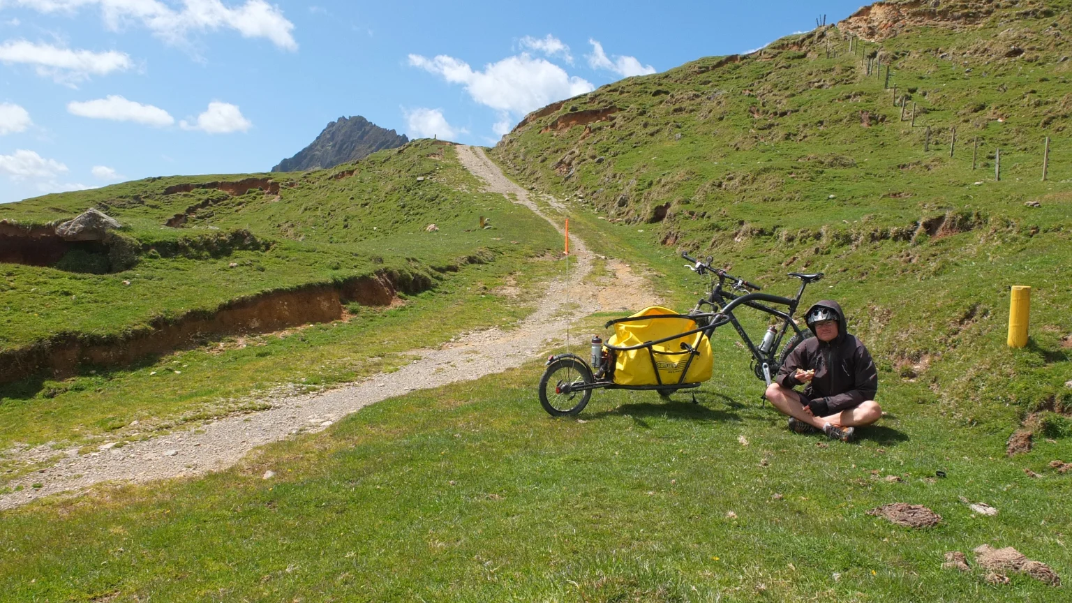
A short break is appreciated but this spot is so windy!
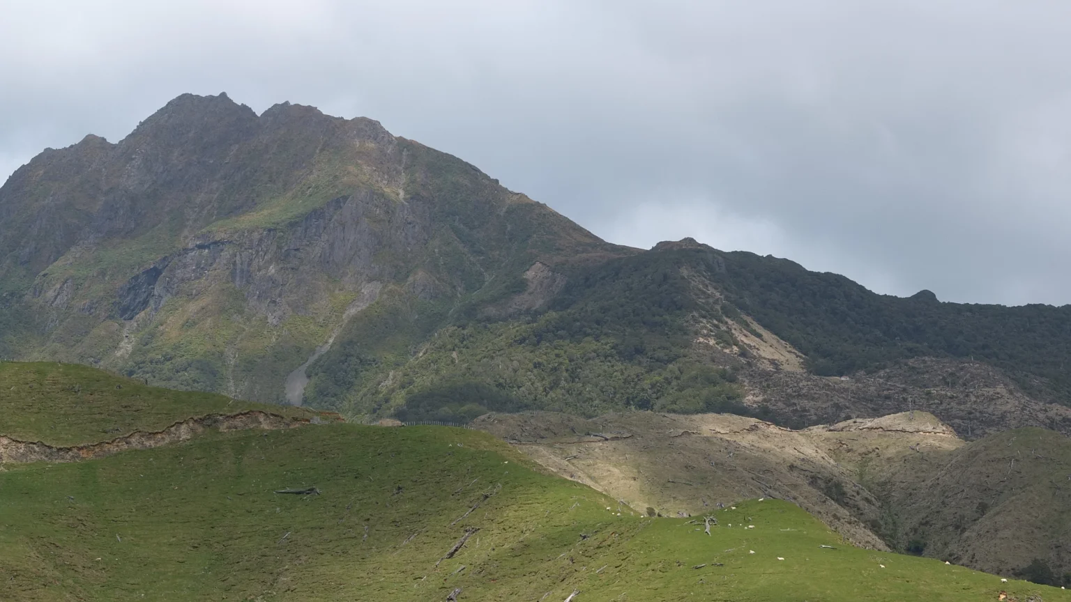
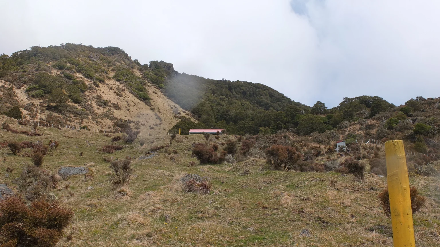
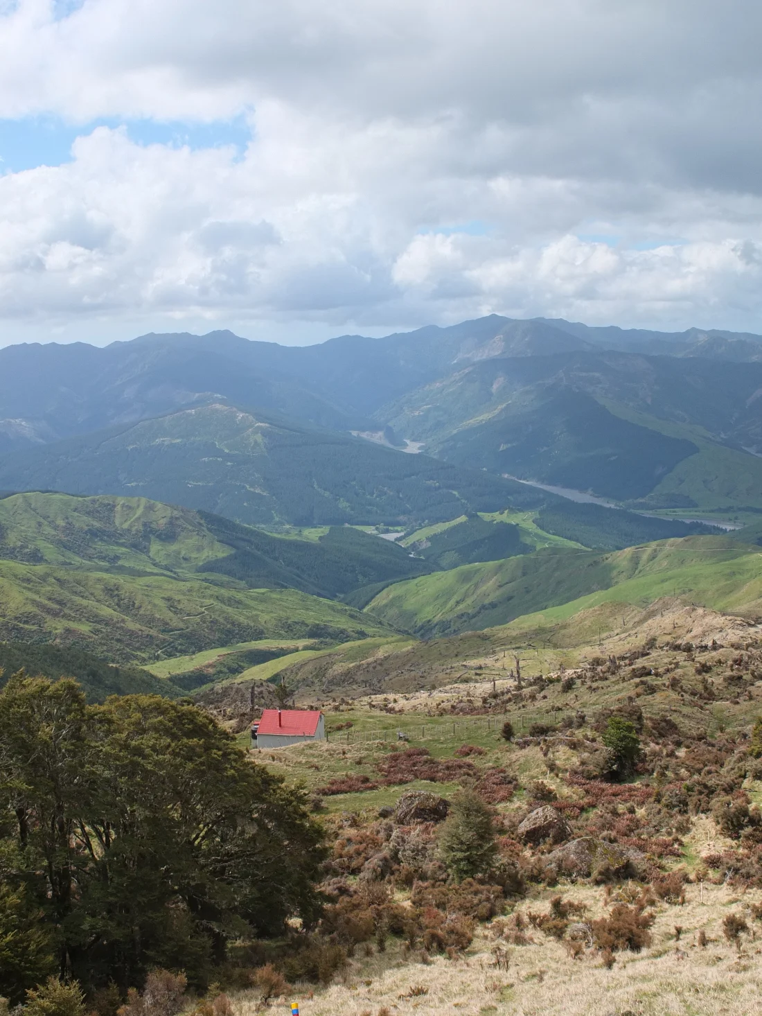
I think I can distinguish the hut on the right hand side between those patches of light.

Ooooh :-). So cute!
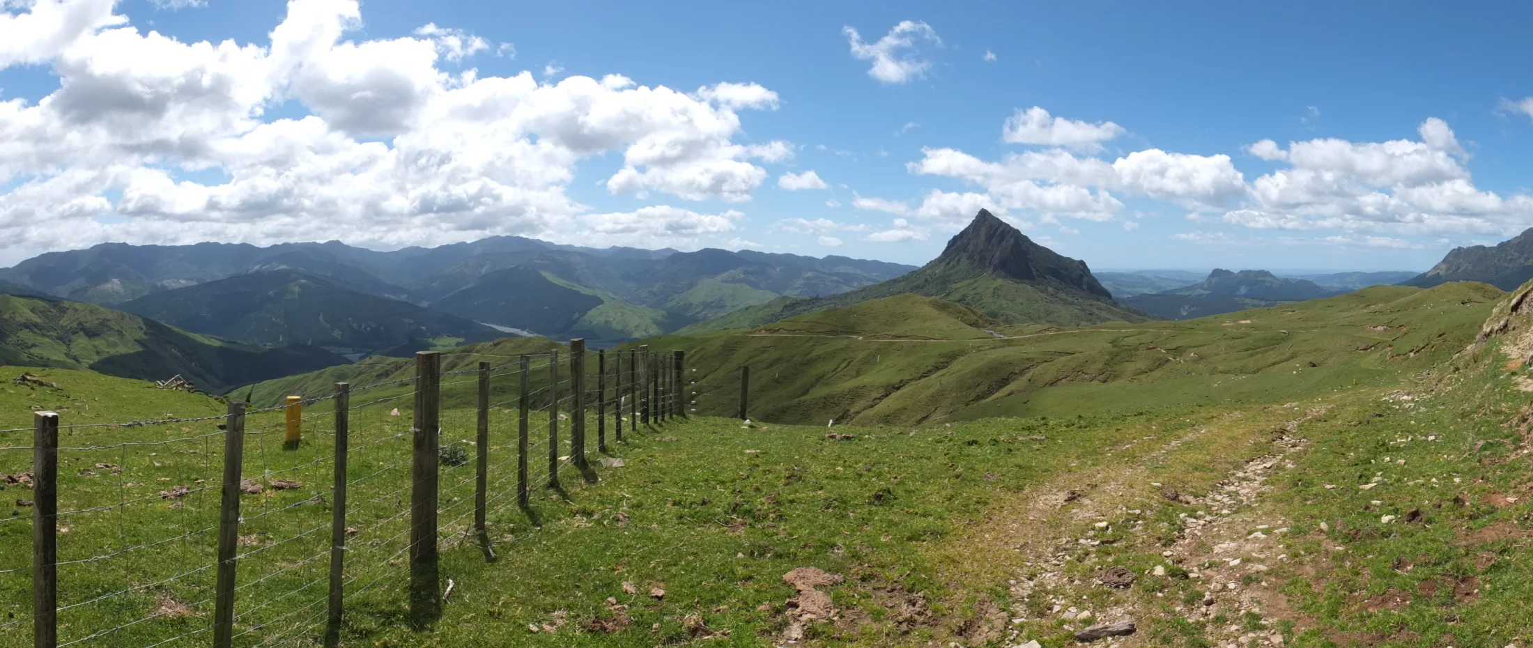
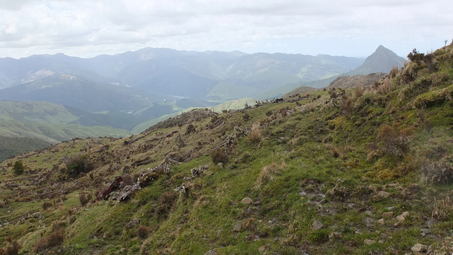
I’m roughly 900 meters above sea level and the view is getting Wow! :-).
I've reached the plateau
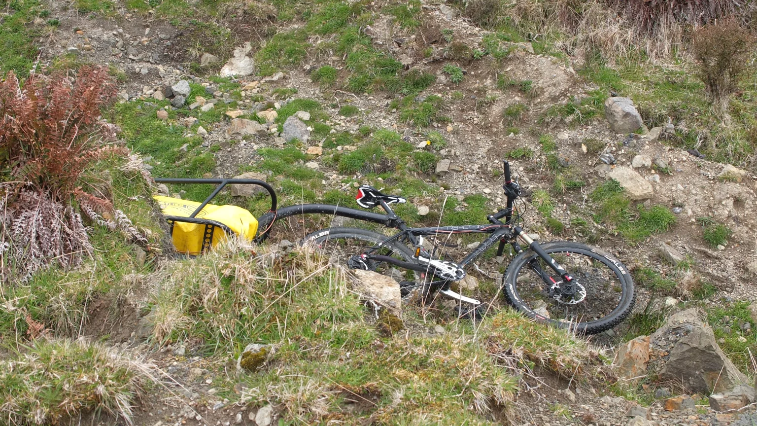
The bicycle track stops here. I found a spot on the side where I can kind of hide my bike for the night. Hopefully, no one finds it for a downhill.
The view is a little bit covered today.

1000 meters plateau! The sculptures are there!
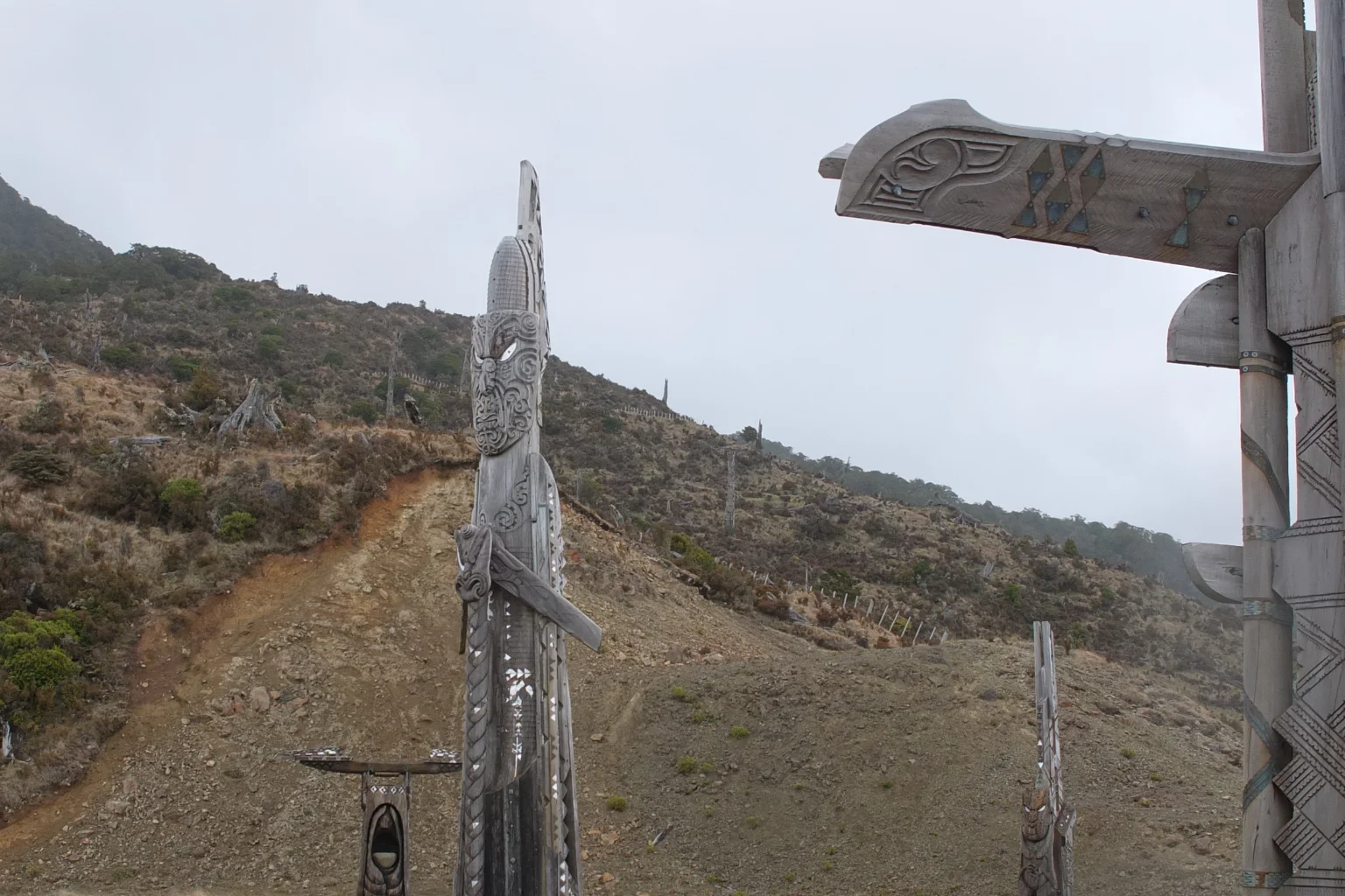
These carvings are wonderful!
I will take more pictures in details later because it’s raining now…

Heading towards the hut.

This my luxury hotel for tonight 🙂
On the way to the hut

Anybody inside?
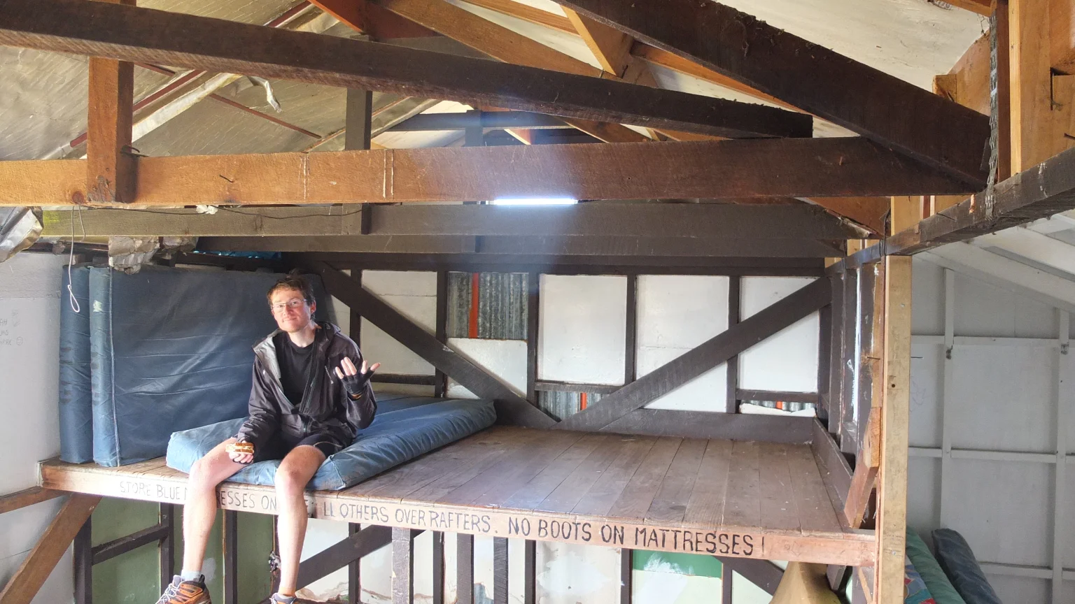
I will have a good freezing night 🙂
On the way to the summit
I was wondering if I was going to reach the summit today or tomorrow morning but I was getting cold in this hut so I decided to go now.
The start is really steep!
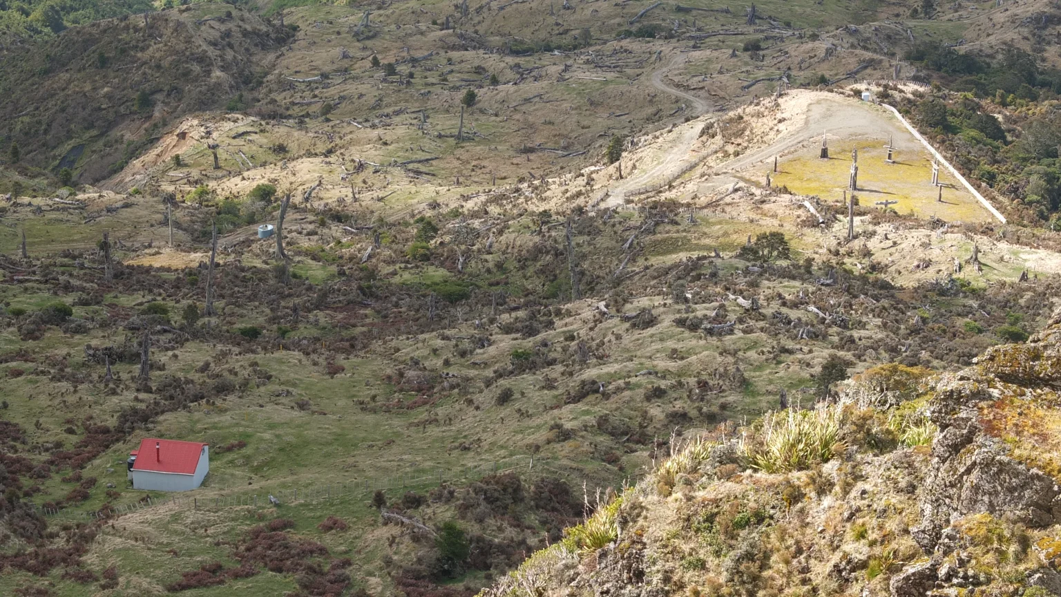
The hut and the plateau.
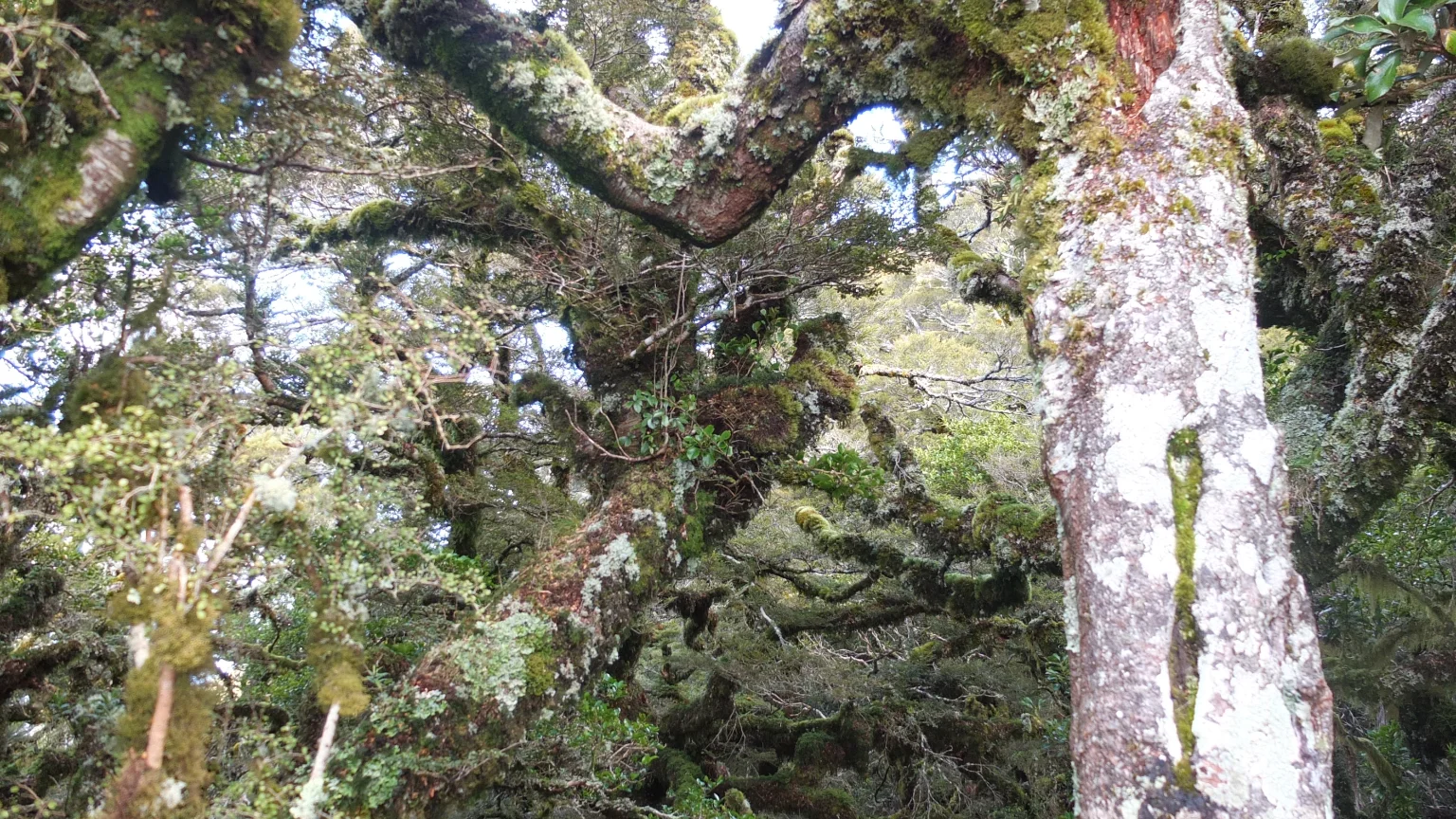
Suddenly, I entered a forest where all the trees entangle with each other. It is pretty dense.

The blue sky is back! Good :-).

I think I’m not so far from the summit now.
I haven’t see any yellow stick since I reached this area.
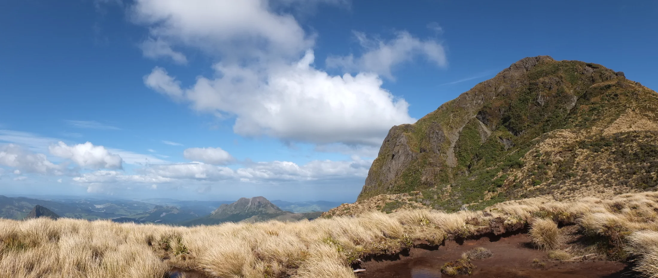
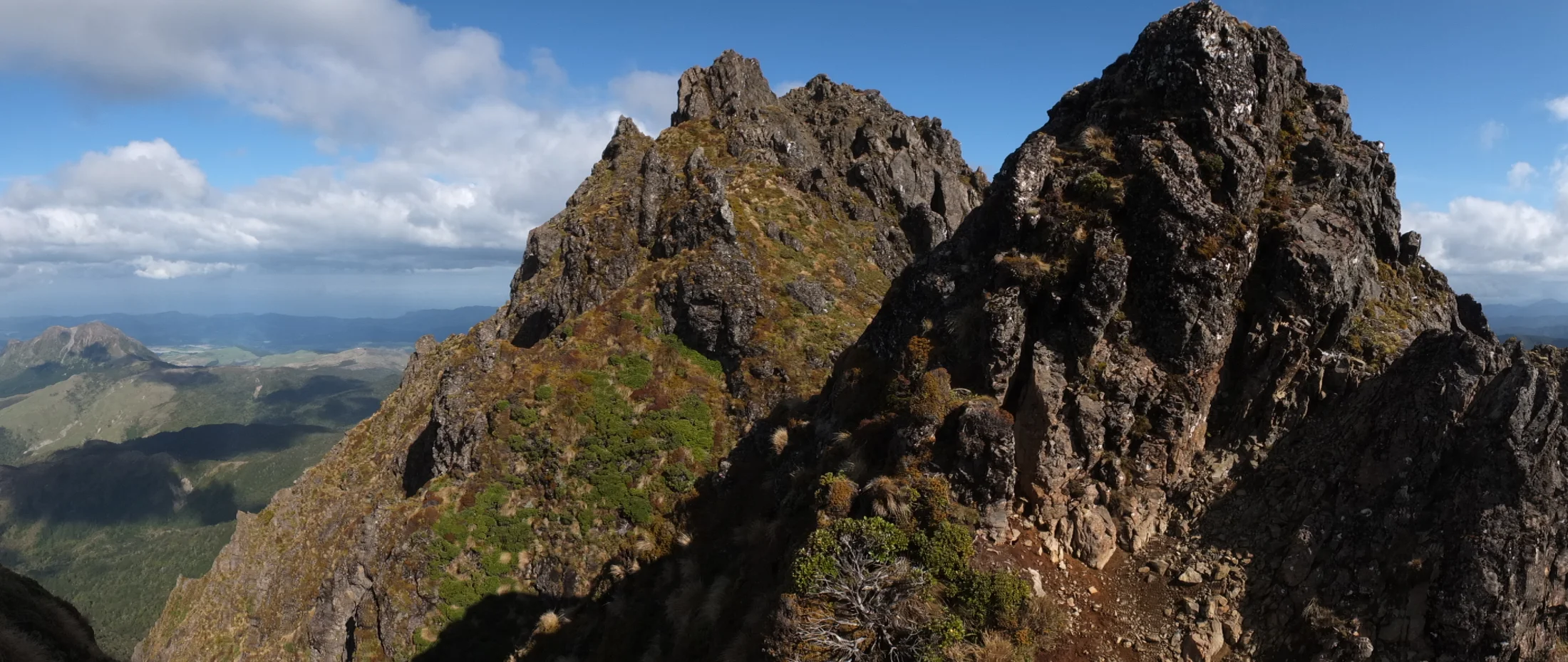
The view is becoming very impressive!

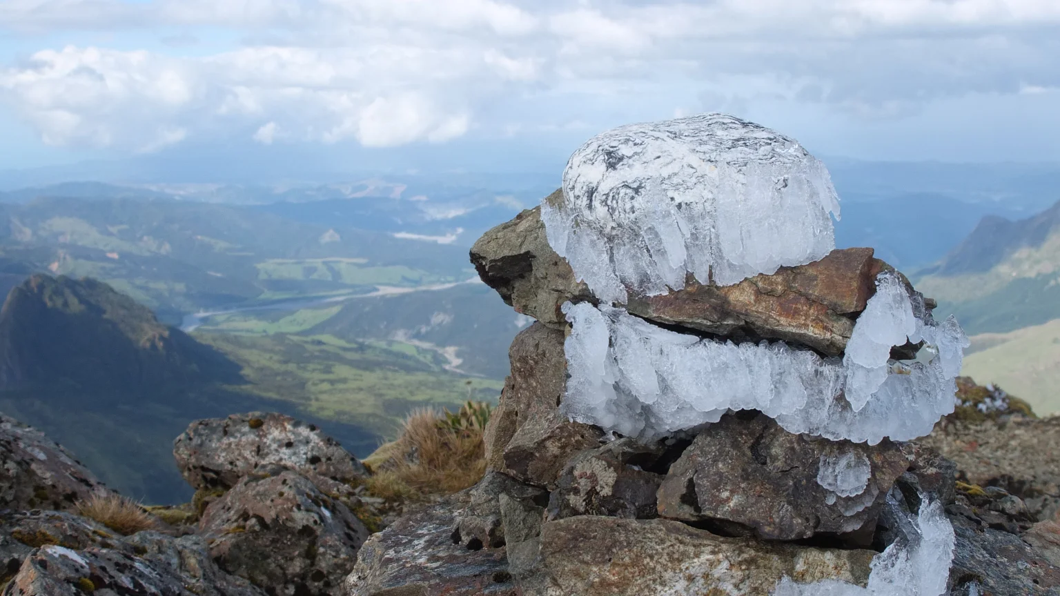
Not far from the top. The rocks are covered by ice!
Phew!

More icy rocks!

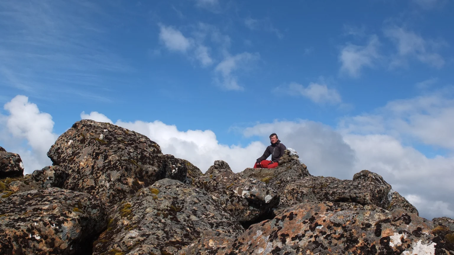
Finally, I’ve reach the summit, 1785m! I’m facing the second Hikurangi summit that seams to be the same height.
The top of the top 🙂
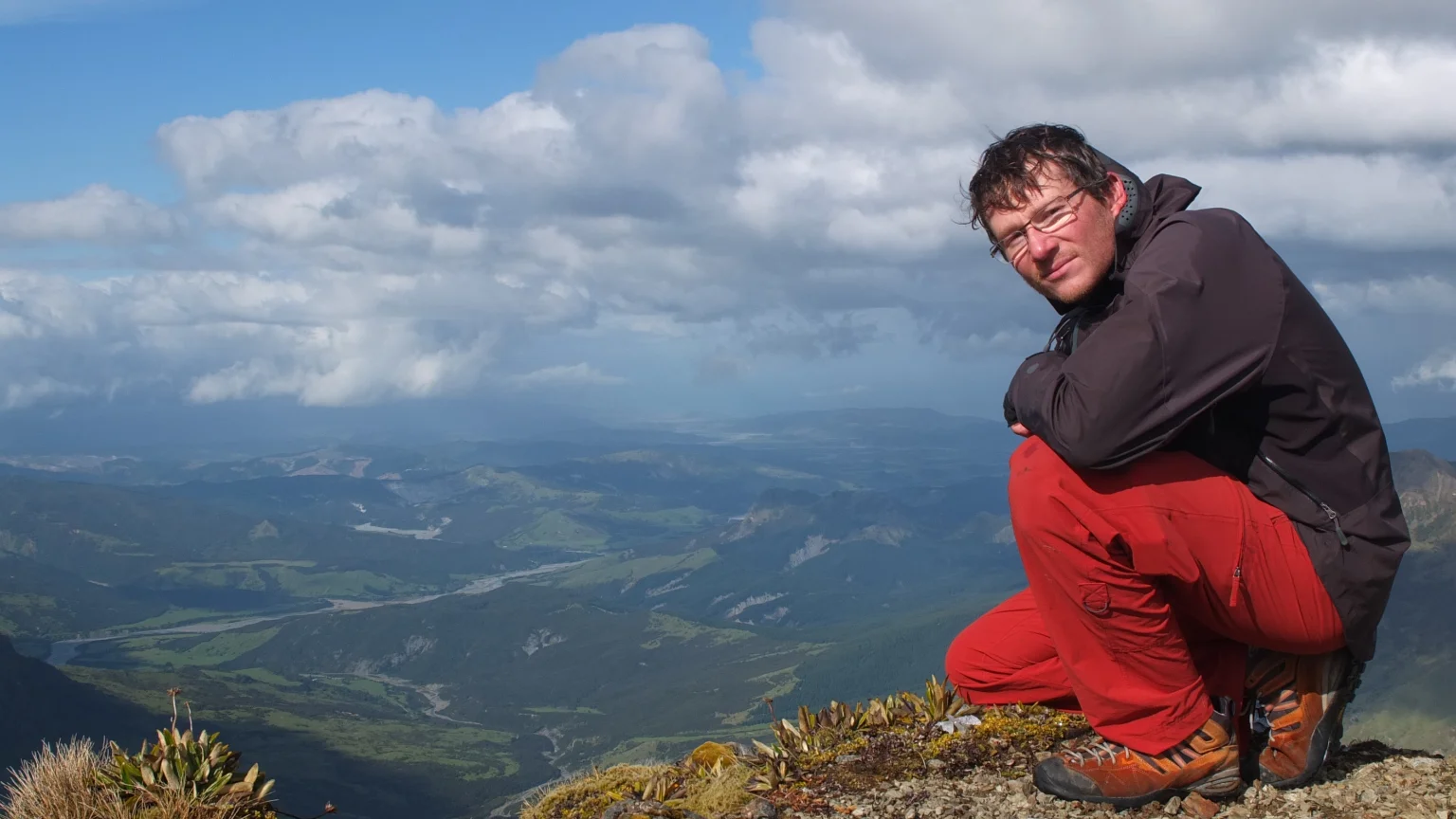
This point is THE first place to see the sunrise in New Zealand BEFORE East Cape but certainly by few seconds only.
I wanted to take a wider picture but my camera settings are limited. I have only 10 seconds to walk away from the camera once I press the shutter.

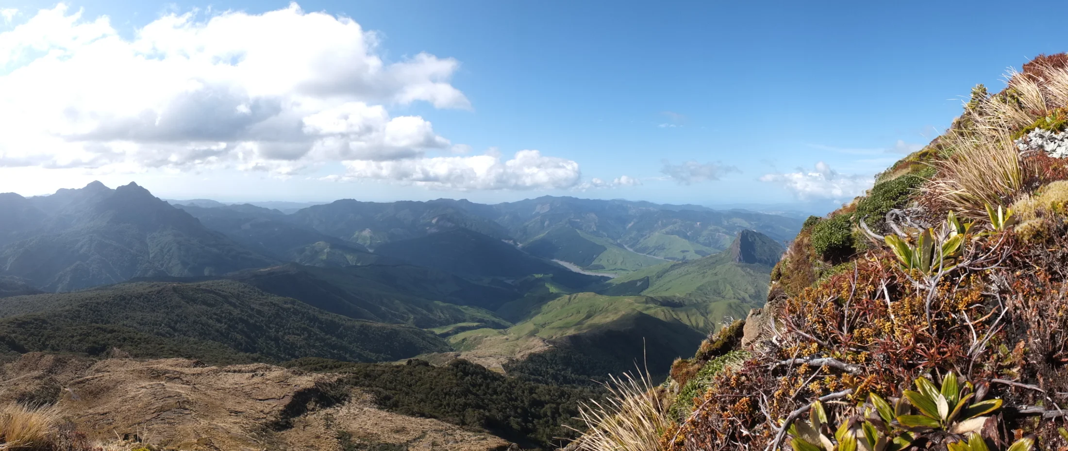
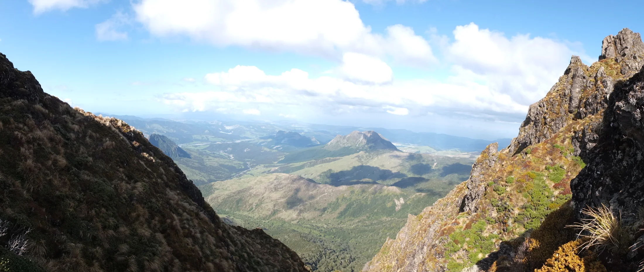
I came from somewhere in that valley.
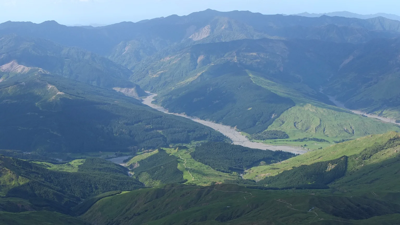
Actually when I zoom in, I can see the track that I rode on early today. By walk, it takes between 4 to 6 hours to reach the carvings but I did it in 3h15 minutes :-).
Back down
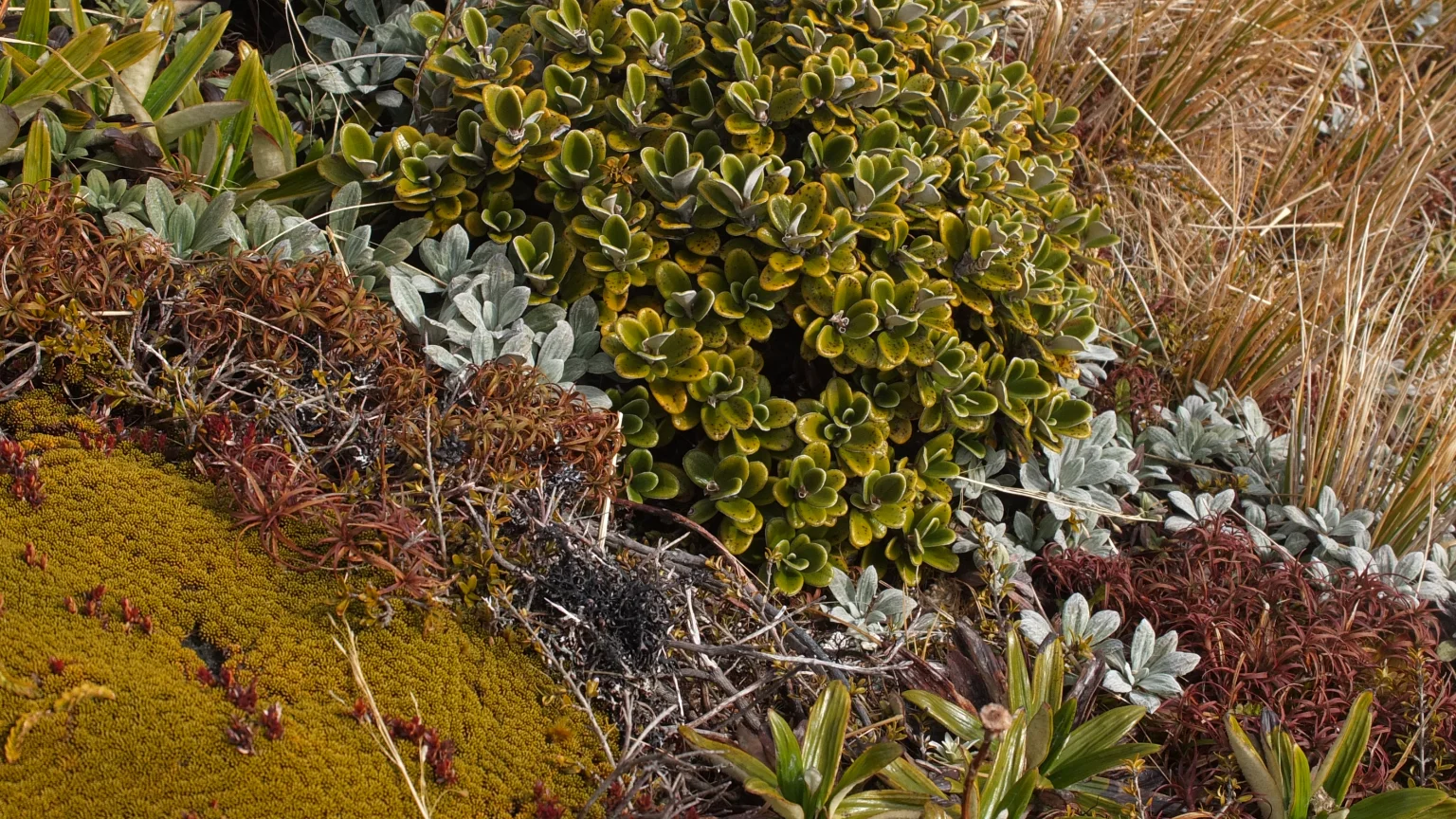
This is a sample of the flora which covers most of the summit area of Hikurangi mountain. Once I lost the track, I had no choice but to step on top of this wonderful vegetation.
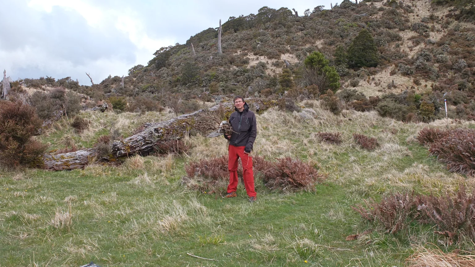
On my way back I found some semi dry wood. I hope it will work because that hut is really cold!

It’s not a big fire but it’s better than nothing.


Oooh, the clouds are coming back 🙂 I got really lucky.
Dinner time

Finally in my sleeping bag. I feel warm now but outside, I mean, outside of the sleeping bag, it’s freezing! Good night!
Quel courage Damien! Surtout avec toute cette glace! Brrr! Je file sous ma couette tiens ! lol
The view was fantastic from the top 🙂 I could see so far !